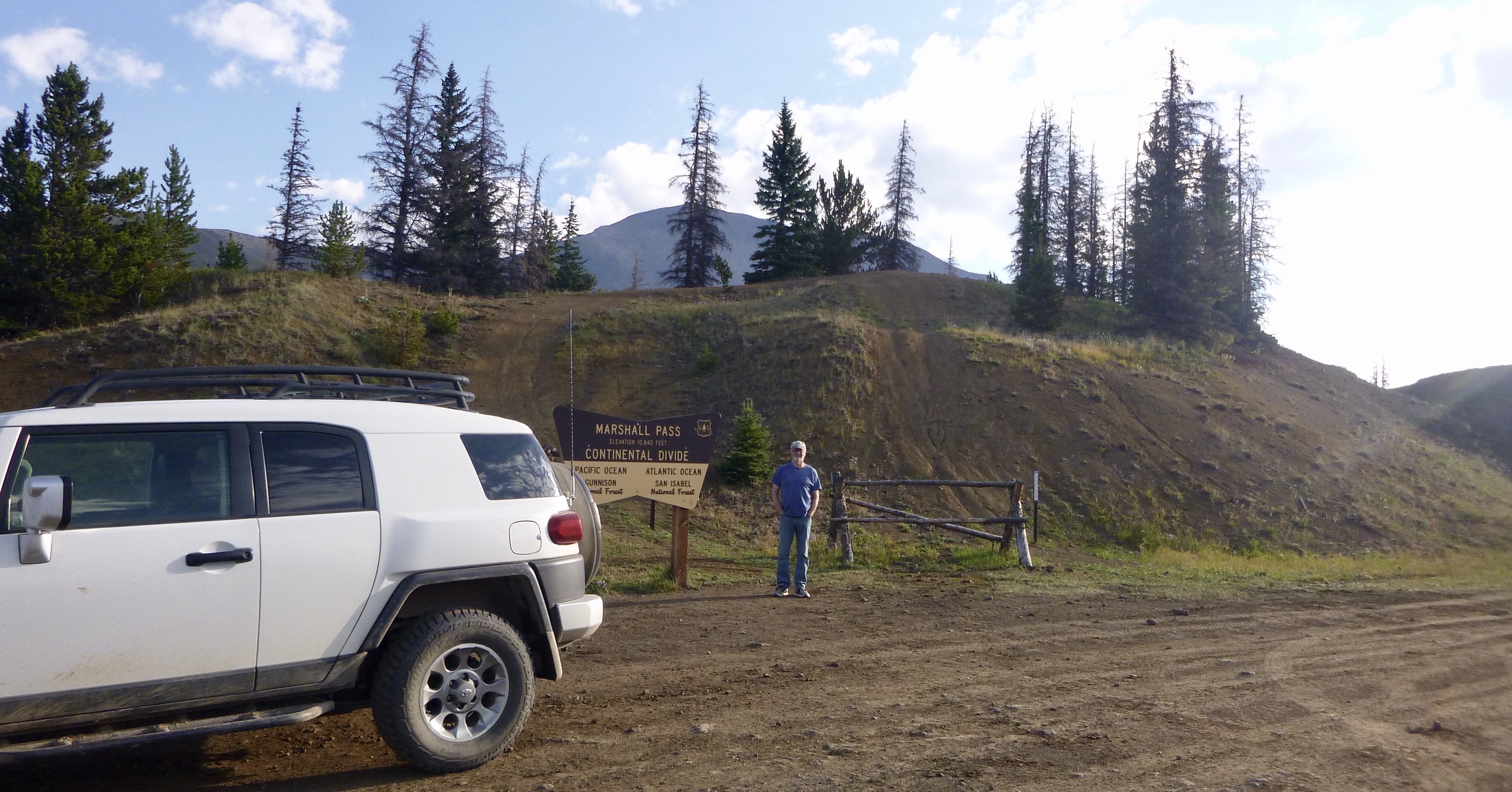
We slept a bit late this morning but were on the road by 7:30. We headed out of town to find the turn off towards Marshall Pass. It is a bit confusing because there are two roads that go there. We wanted the Marshall Pass Rd, USFS 200. The road was crowded with self propelled adventurers, some on bikes and some running. We recognized one of the mountain bikers from yesterday afternoon on the road into Salida. We stopped and spoke briefly with him and he told us he was riding the Continental Divide Trail from Canada to Mexico. He looked to be about 70 years old! We bid him well and moved on. After that we had the road to ourselves. As we progressed up the mountain the road got rougher and rougher, but the FJ took it in stride and before we knew it we were at the top.
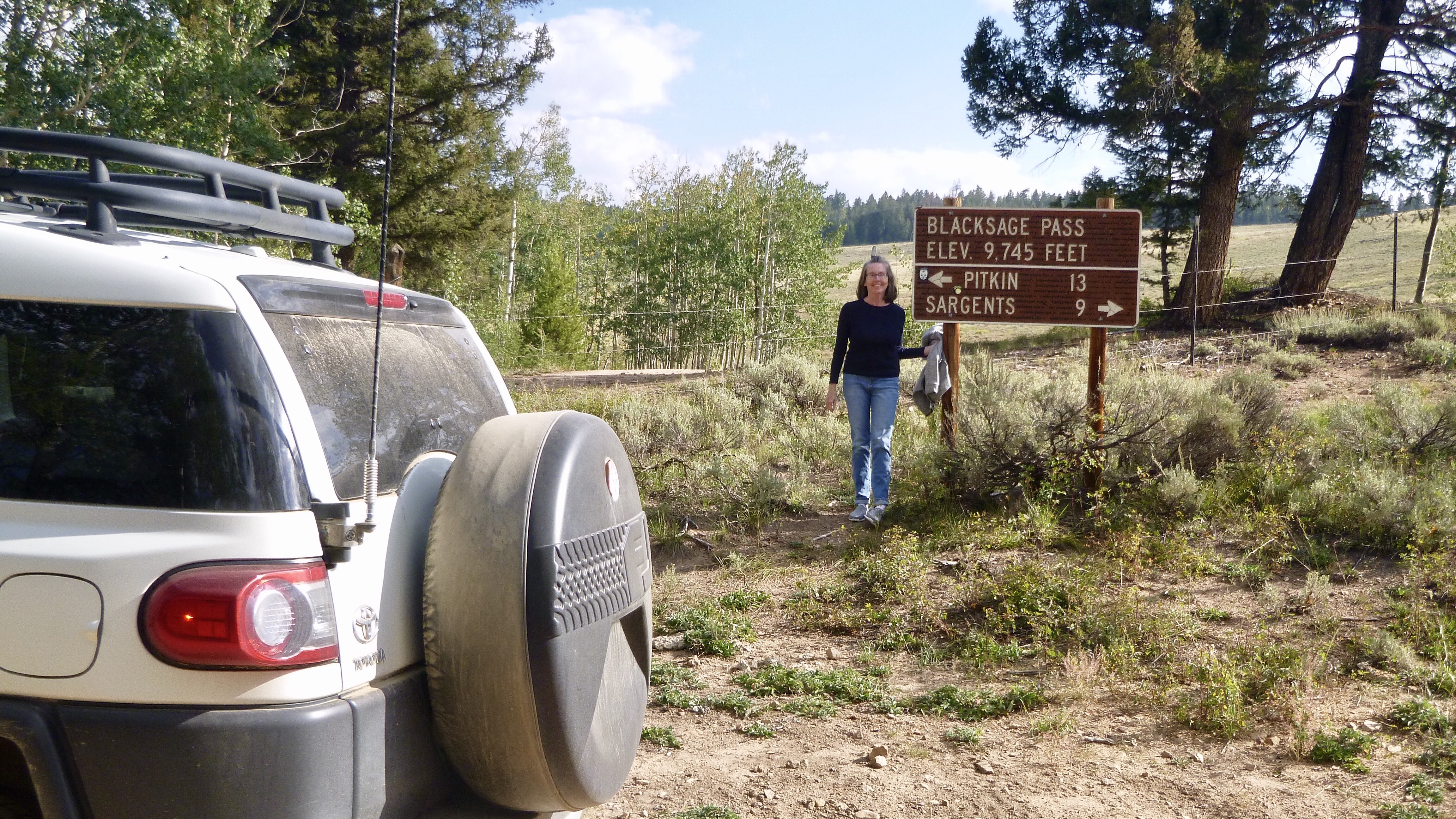
The ride down was much better and before we knew it we were at the intersection with hwy 50. Our next Pass was Black Sage and is on a road that was part of the TAT when the trail crossed Hancock and Tomichi passes. These have become so hard to ride that they were eliminated some years ago. Black Sage was not that far and we were there before we knew it.
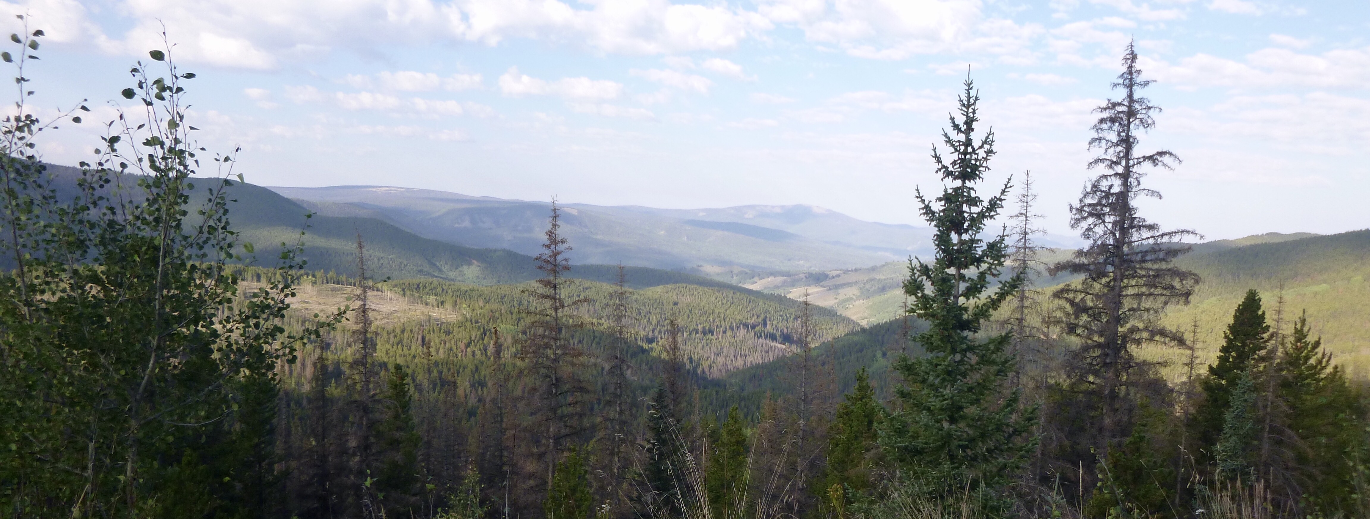
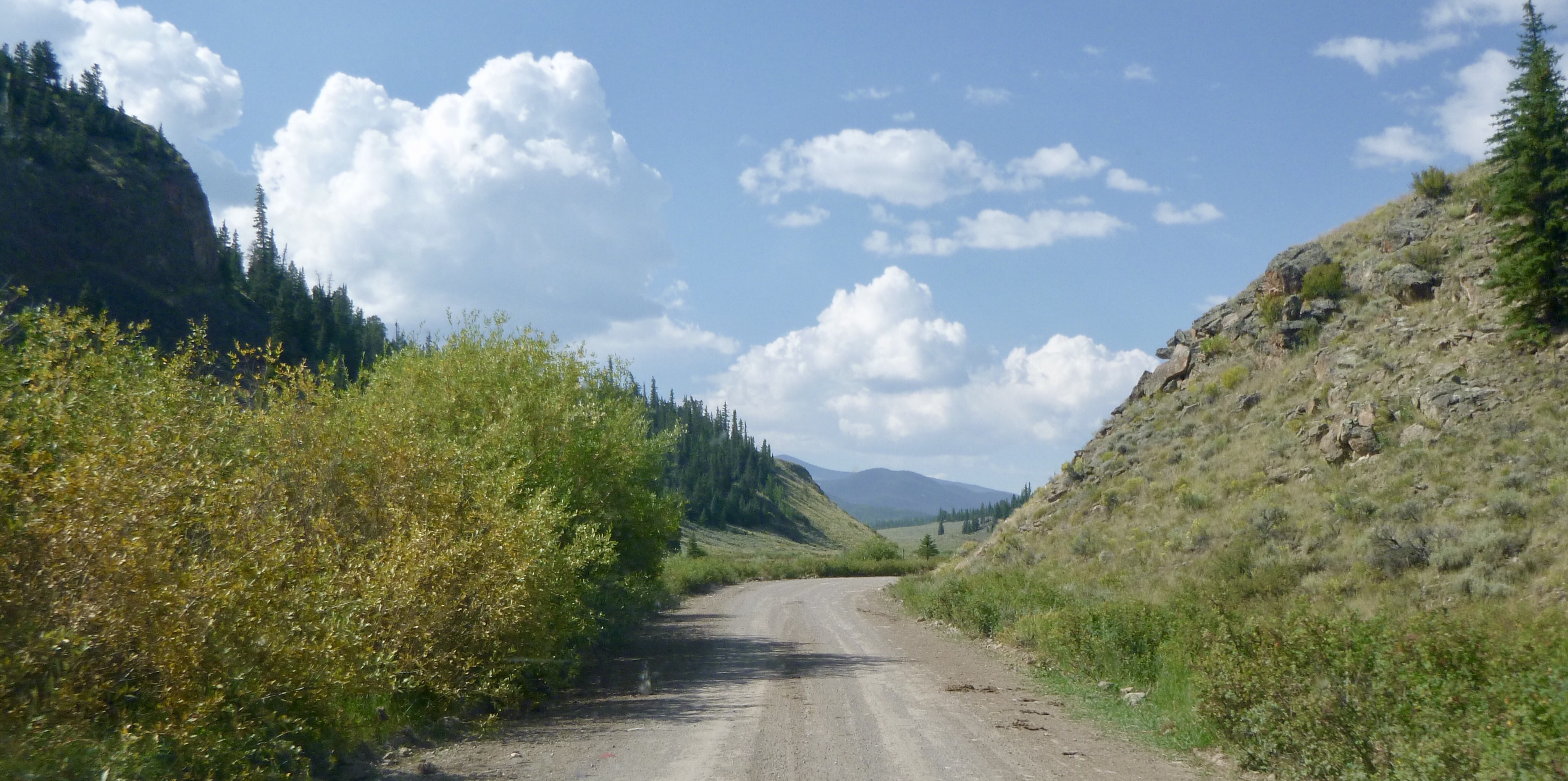
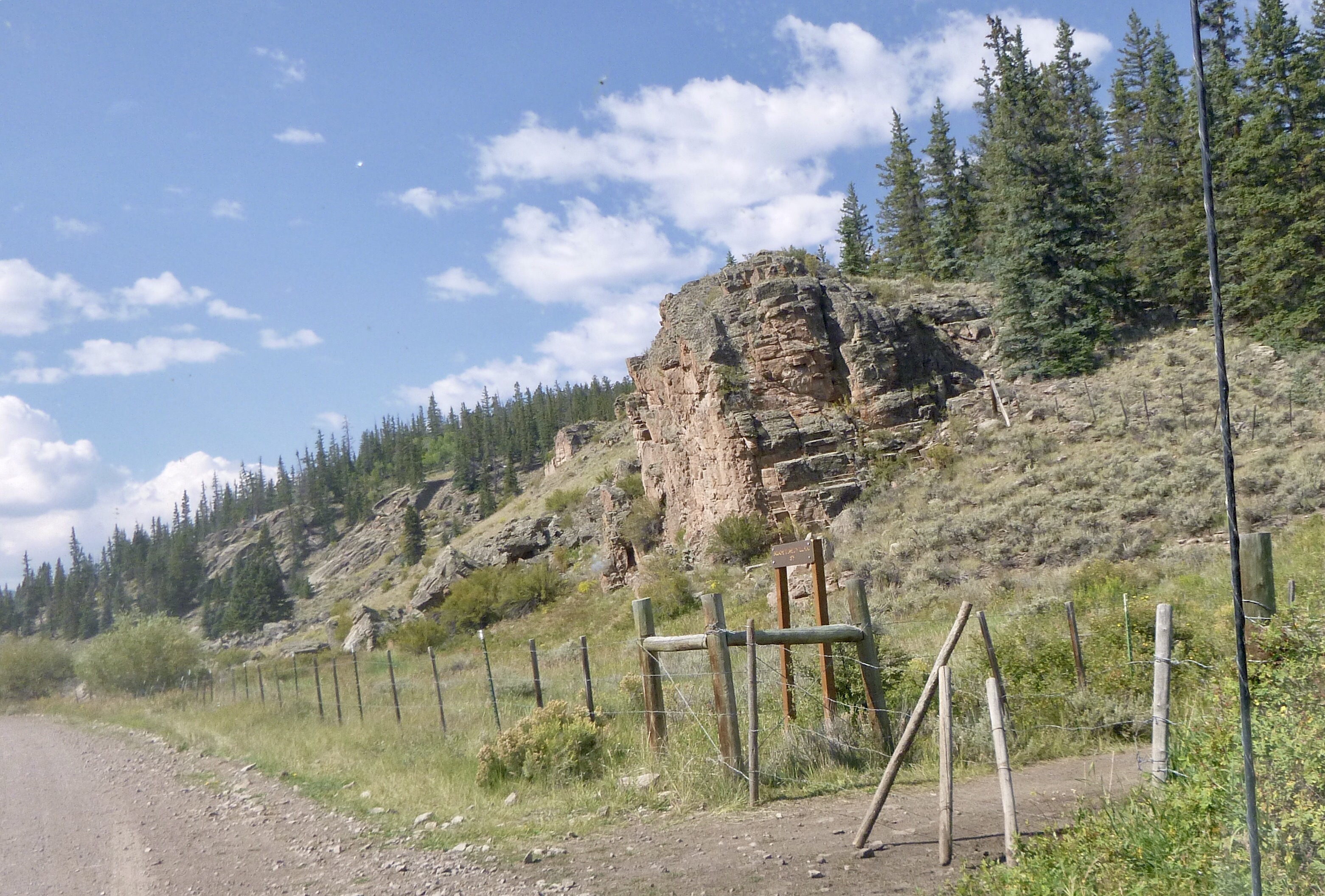
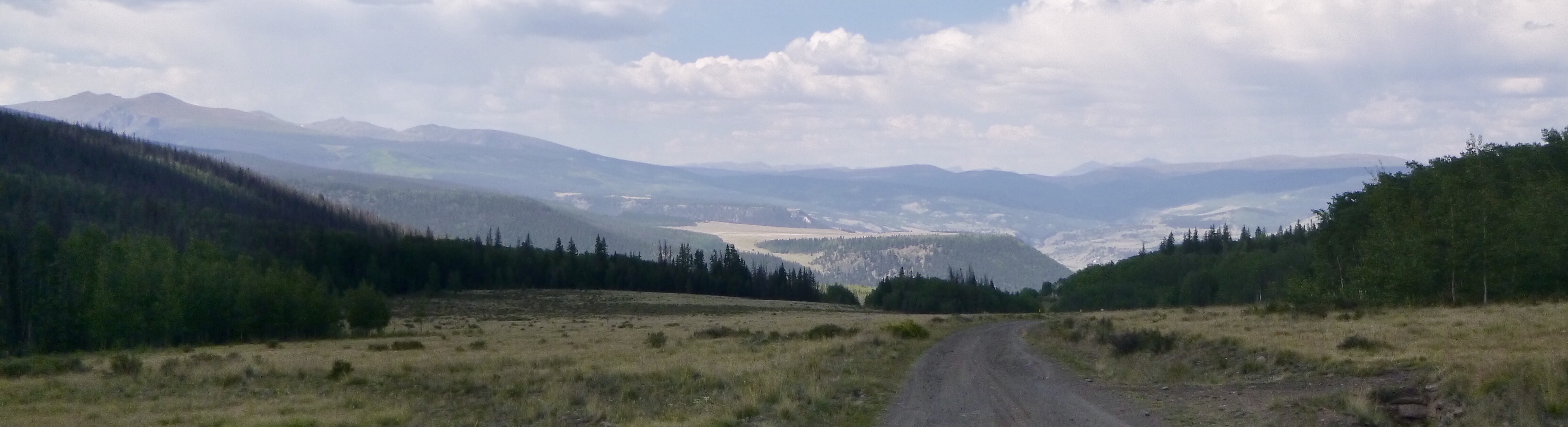
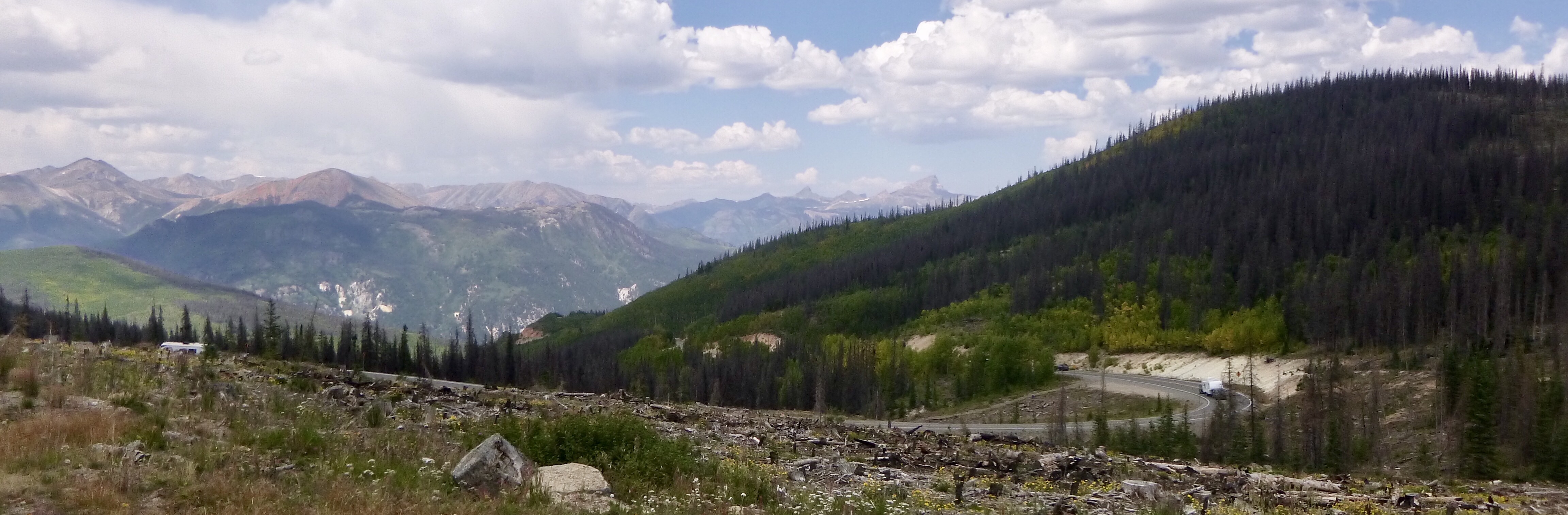
From there we drove back down to hwy 50 and turned left and then almost an immediate right at Doylesville, Co., don’t blink you will miss it. The road then was wide and fast and we made real good time through here. The scenery was awesome and we felt sorry for all the people who never get off the paved roads and get to see the views back here.
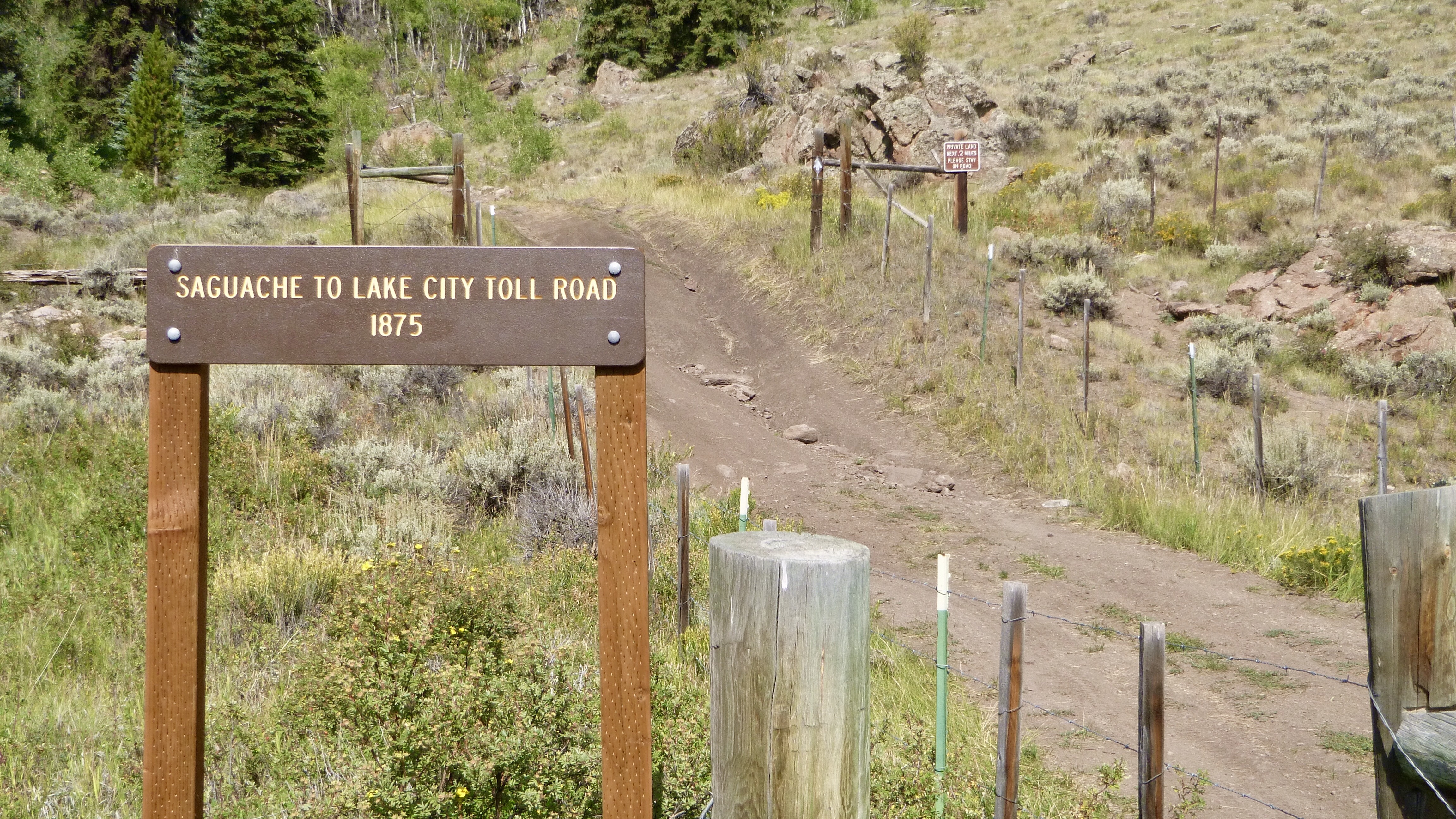
We came across an old stage coach toll road from 1875. Looks like it hasn’t been worked on since then!
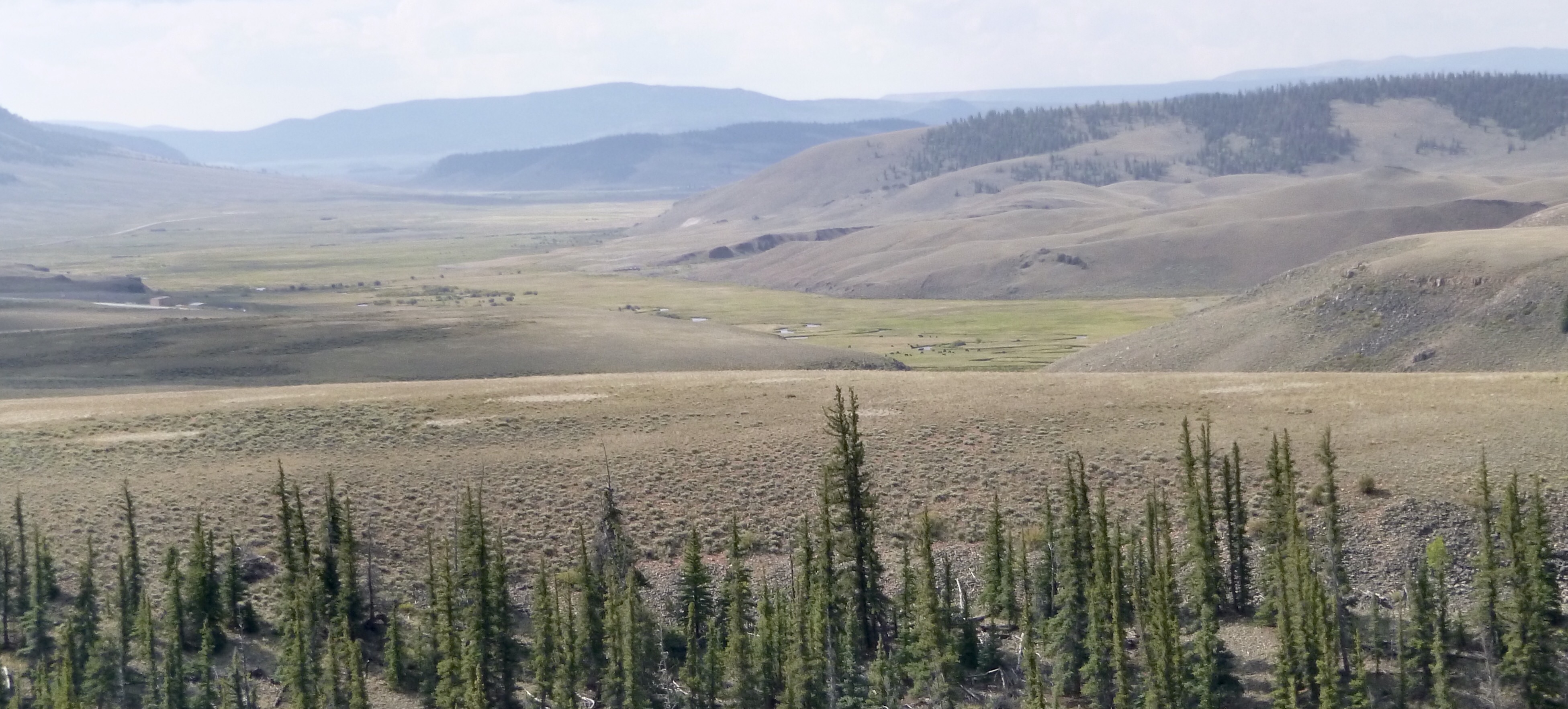
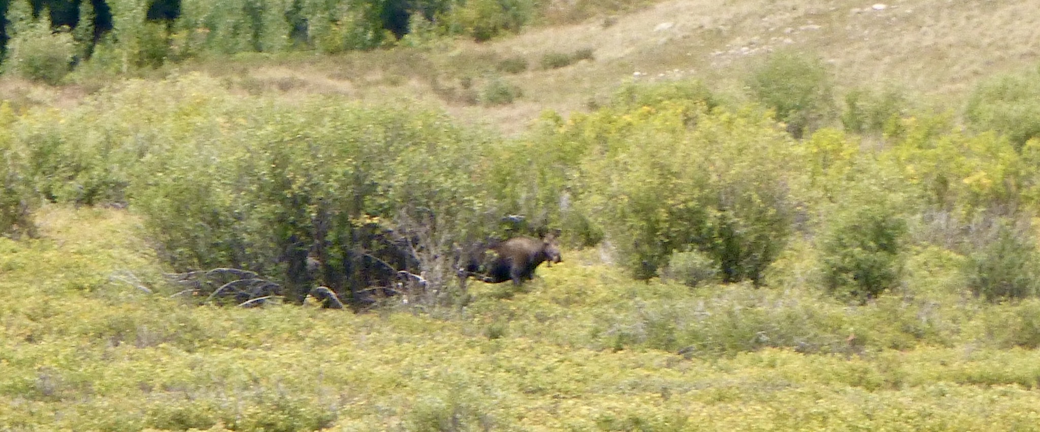
Our next Pass was Los Pinos, but there was no marker there. We did see a moose along in here.

After that was Slumgullion Pass. We didn’t actually go through the Pass as it was left on the paved road and we turned right to go to Lake City.
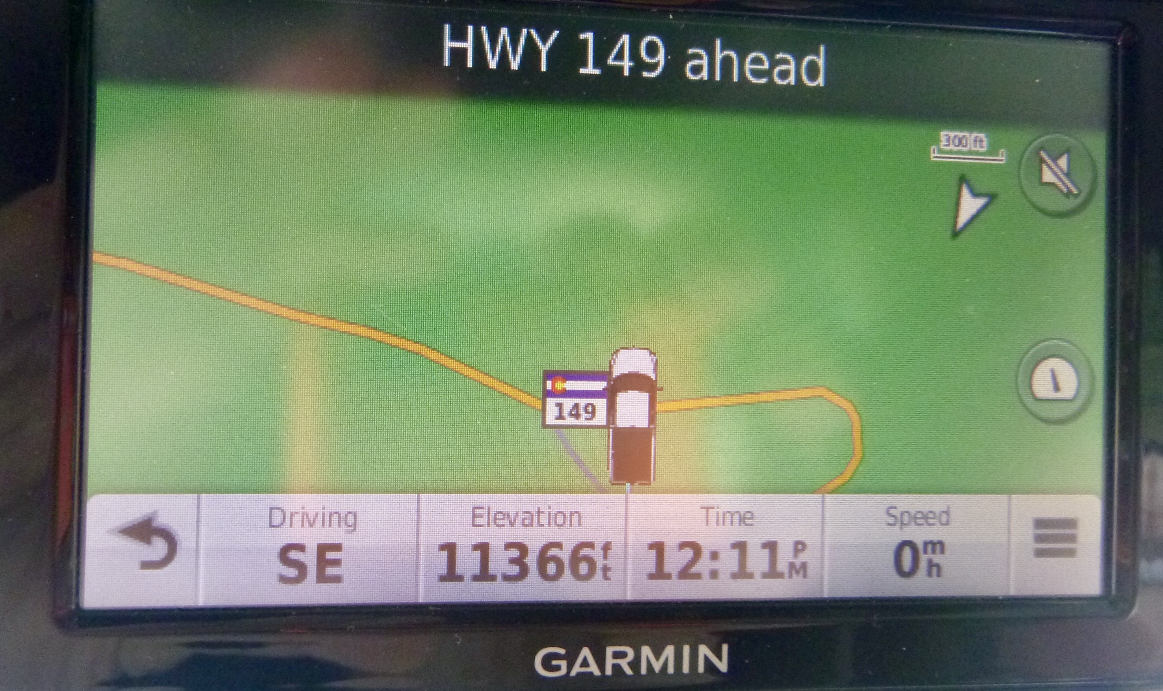
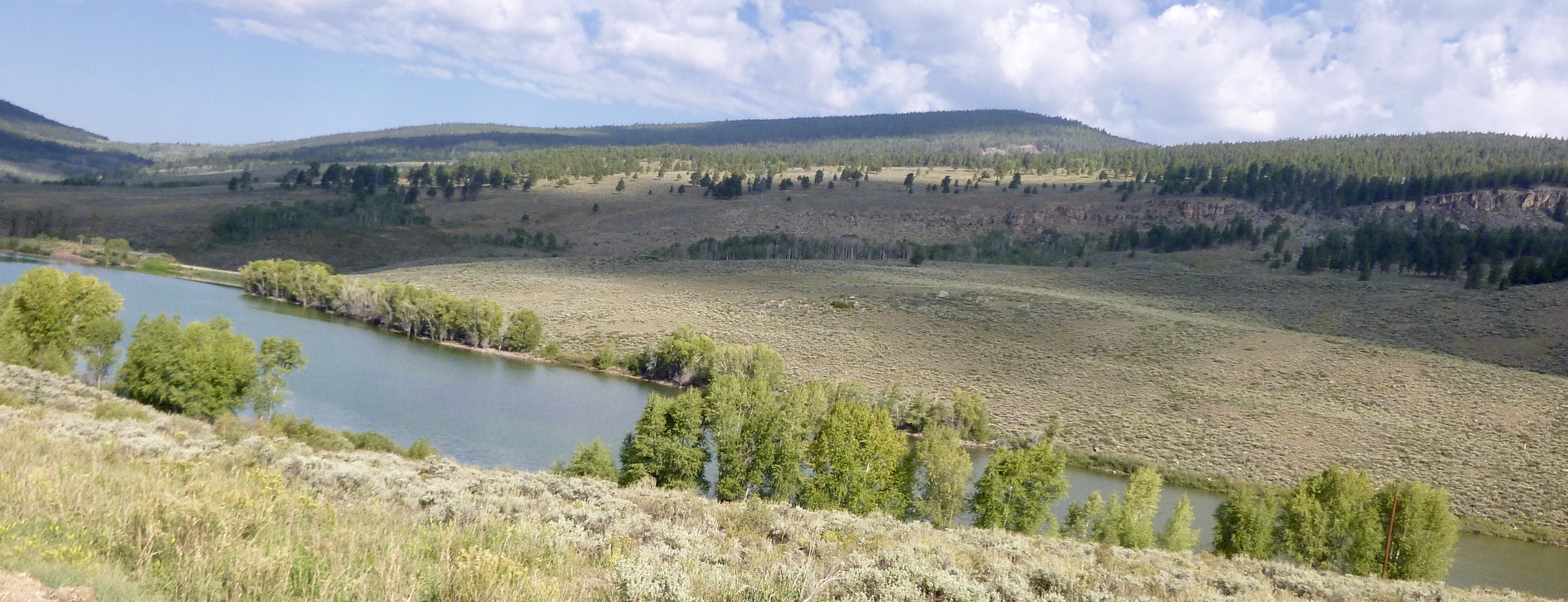
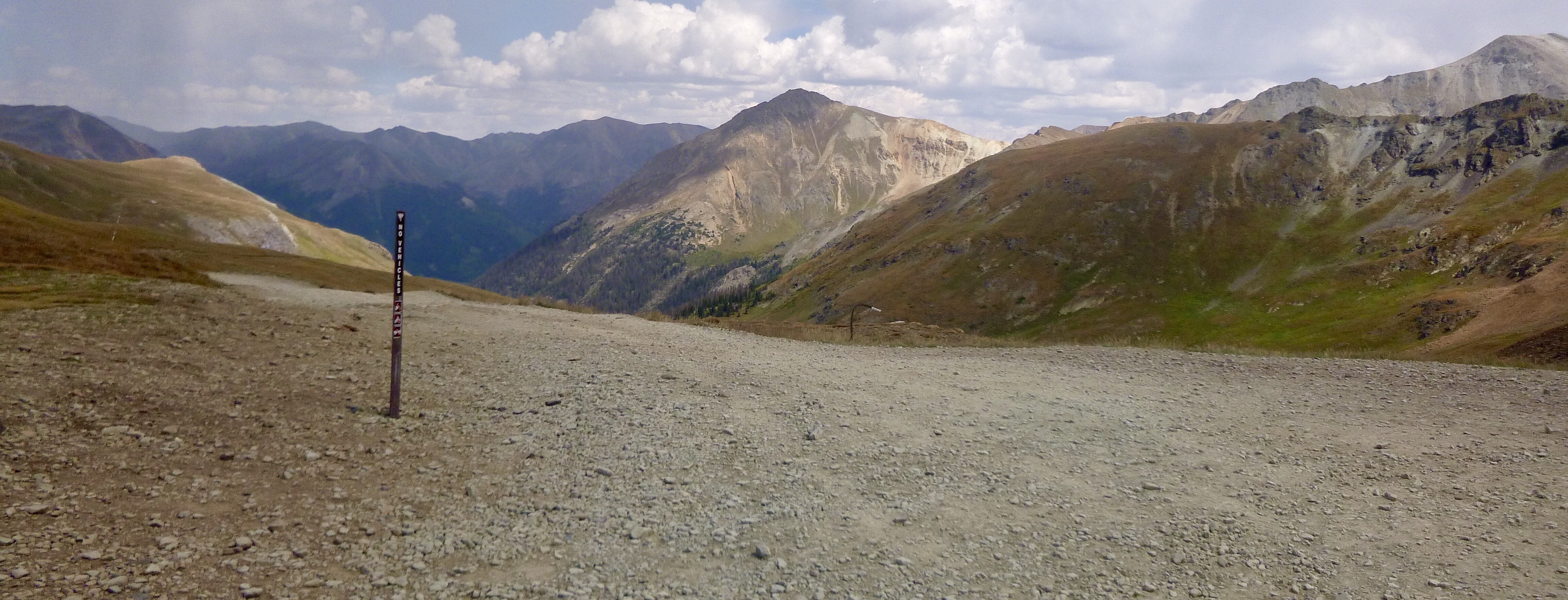
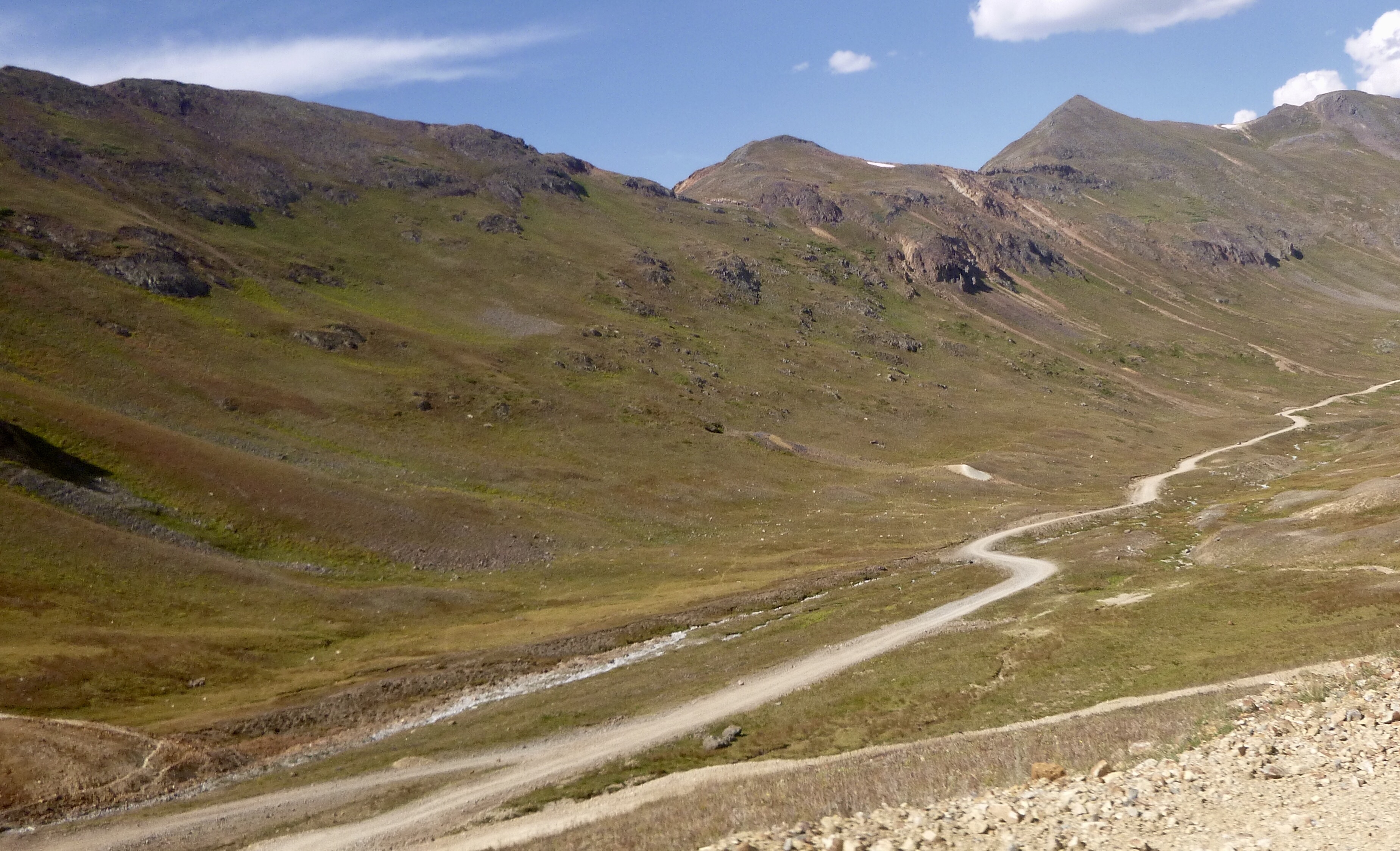
As you approach Lake City, the trail heads west towards Cinnamon Pass, but we wanted to top off the tank and grab some lunch. Getting gas was easy but lunch was not. Everything town except the gas station/cafe was closed. We tried the cafe but they were very backed up. We needed to get going in order to make it through this next stretch and get to Silverton before dark. So, we went back to the turn off and headed for the Pass.
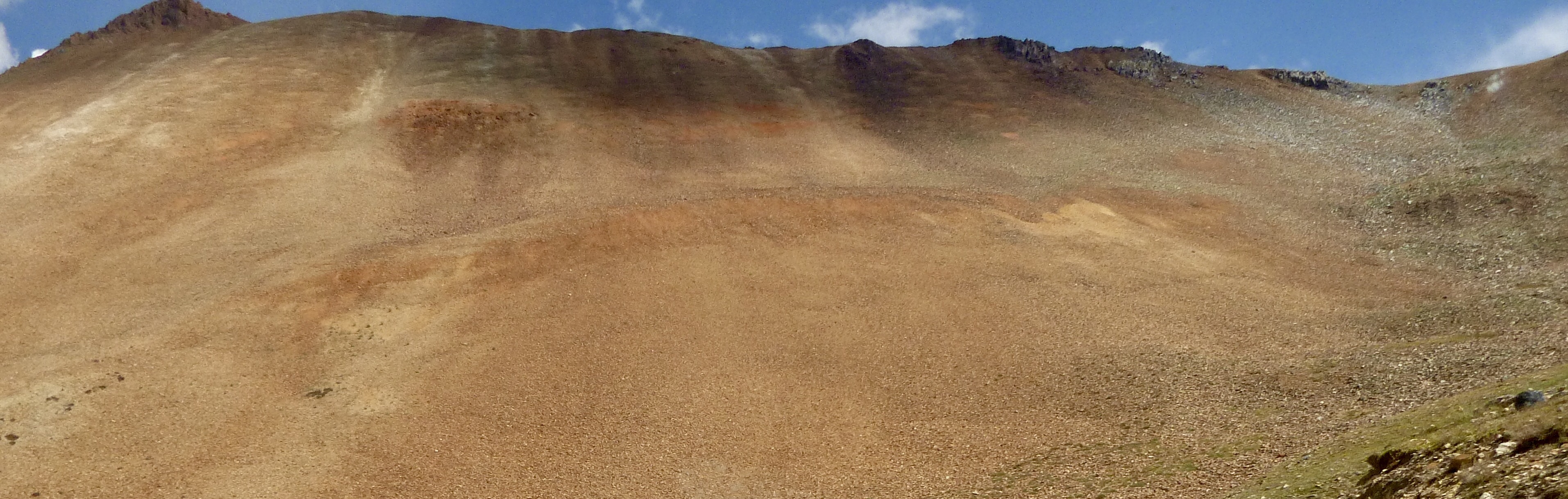
The first parts of the road were paved and then wide fast gravel. However, once we reached a section of the road called the Shelf road, everything went downhill fast. And it stayed down there until we reached hwy 550 some 2.5 hours later. Distance traveled was 36 miles!!!! I know that works out to 14.4 mph, but once we reached the Shelf Road we were traveling at 5 mph all the way across. The road, and I am being very generous here, is like driving through a war zone. There is not one smooth area to drive in. You have to pick your way around the rocks and potholes very carefully. Not only that, but there were tons of other people out there that you had to watch out for. Some places were just wide enough for one vehicle to pass at a time. As we got closer to the top, there were these switchbacks that were so steep, I was wondering if we were going to make it. One particular one was being worked on and was nothing but loose dirt. There were a group of motorcycles sitting there resting and waiting to watch us go up. I had the FJ in 4 wheel high. I had a fleeting thought to shift into 4 wheel low, but didn’t have time as I needed to keep moving. The FJ made the turn and went up that slope like we were in a parking lot. Didn’t even spin a tire. Before long we were at the top of the Pass.
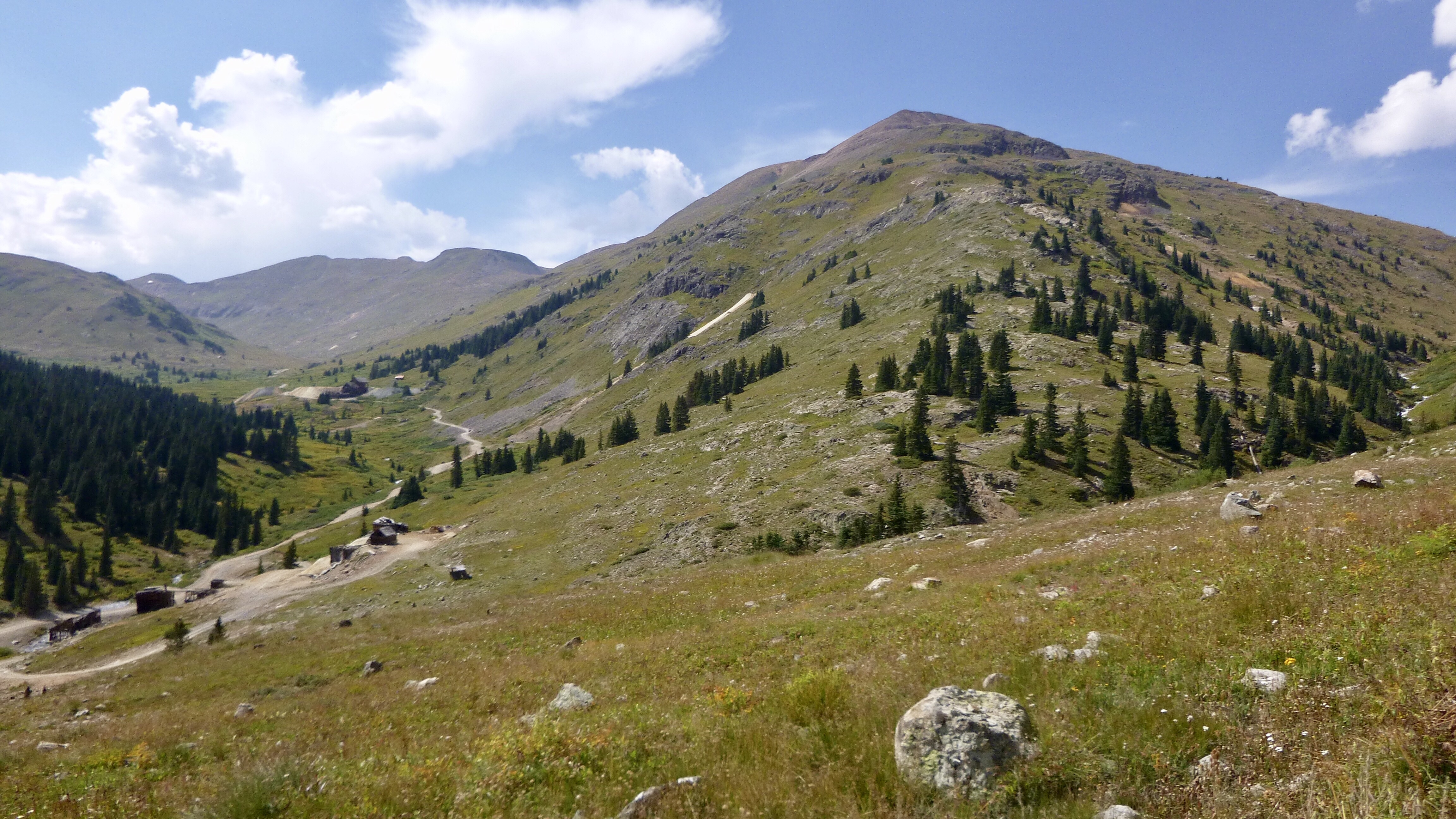
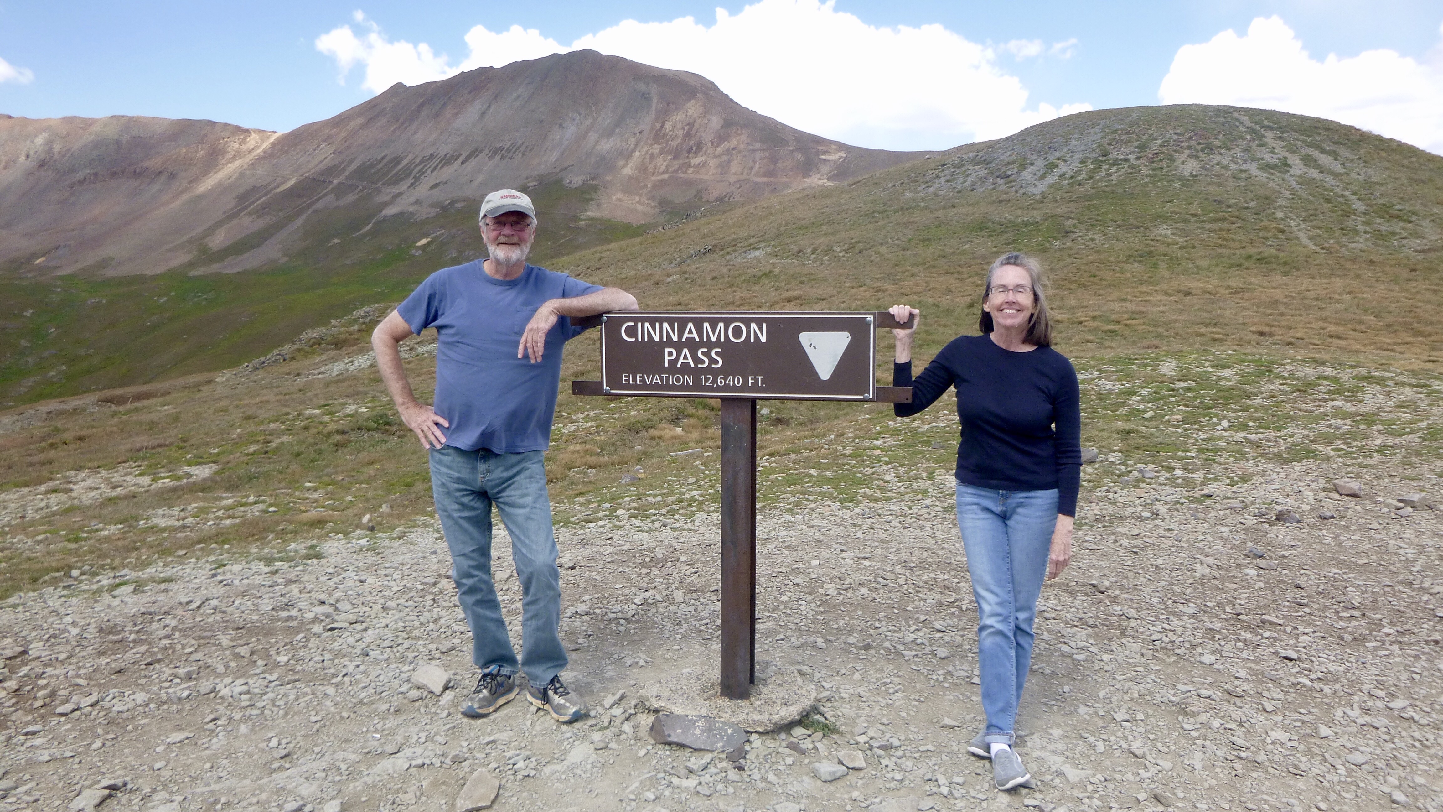
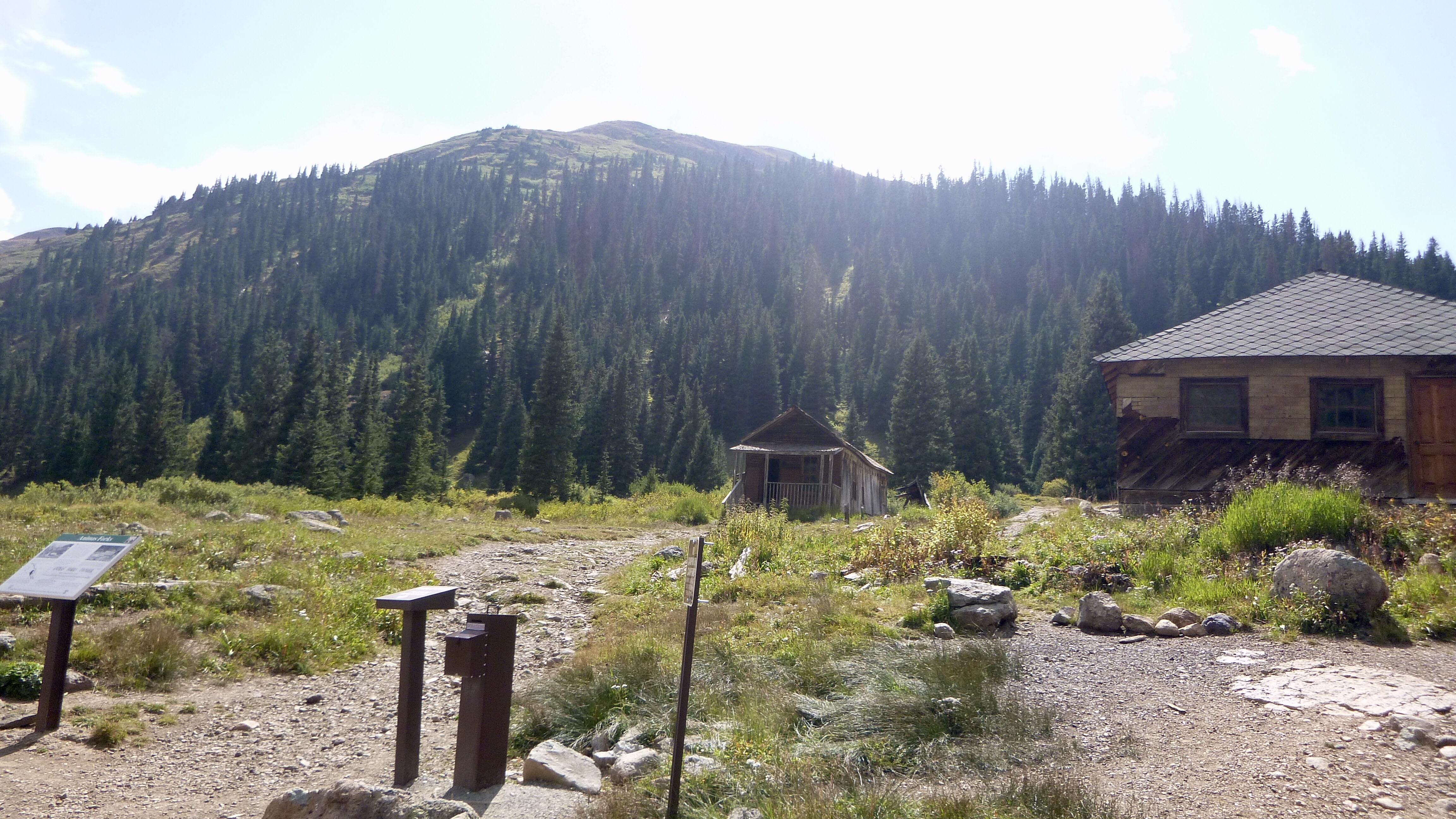
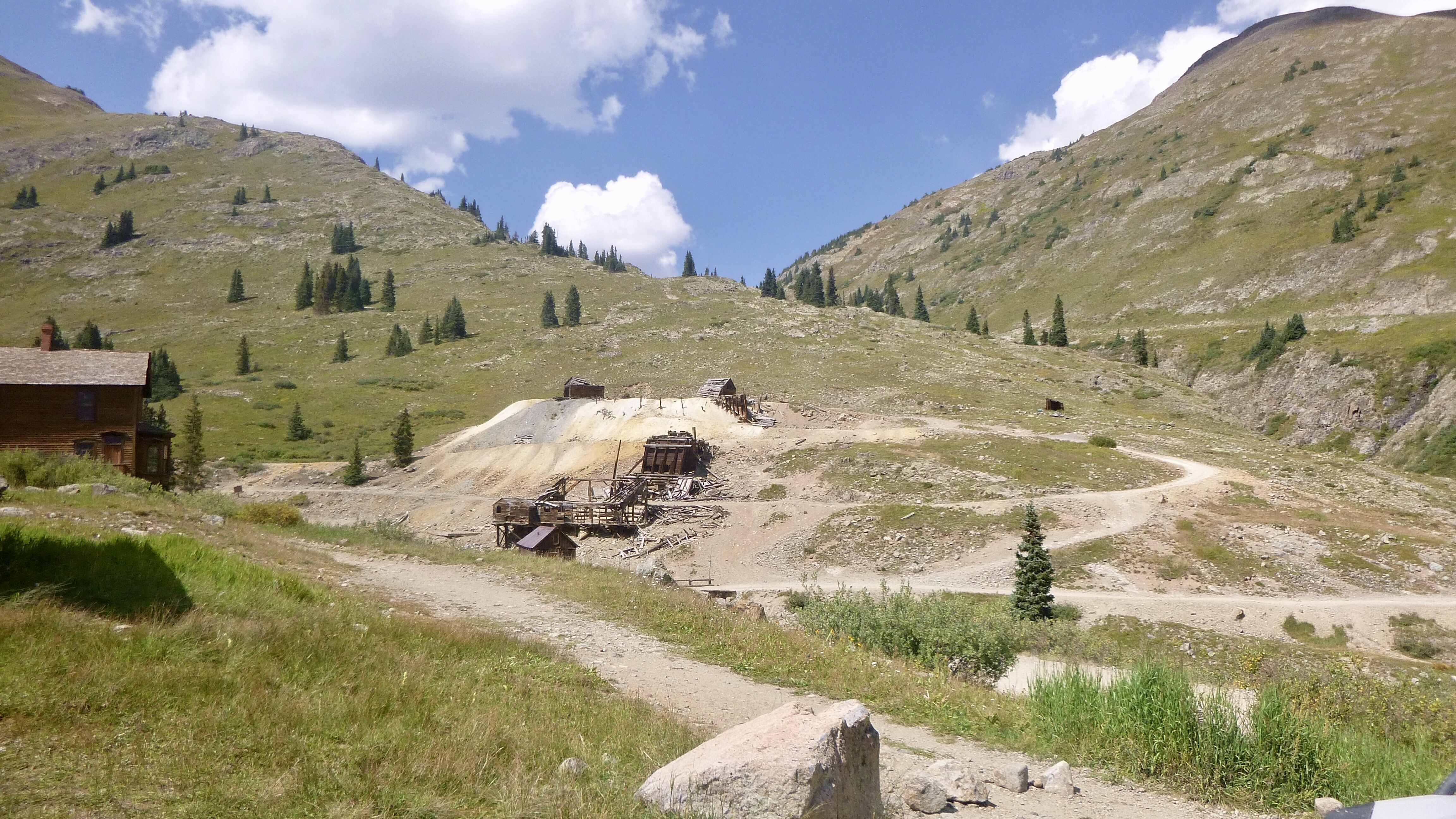
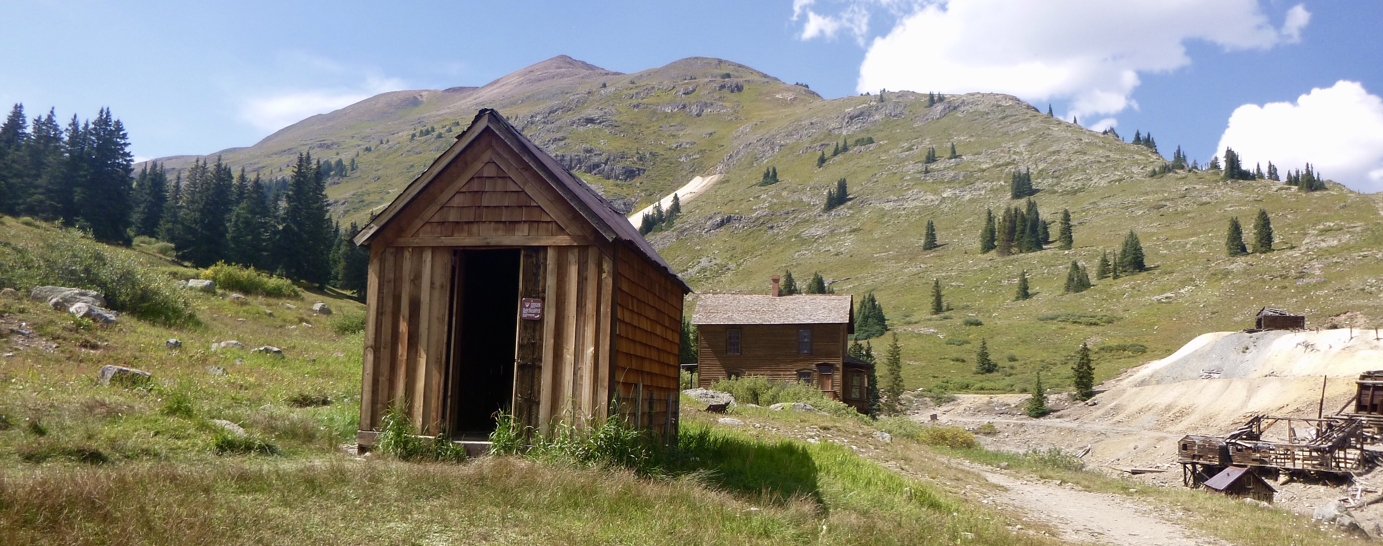
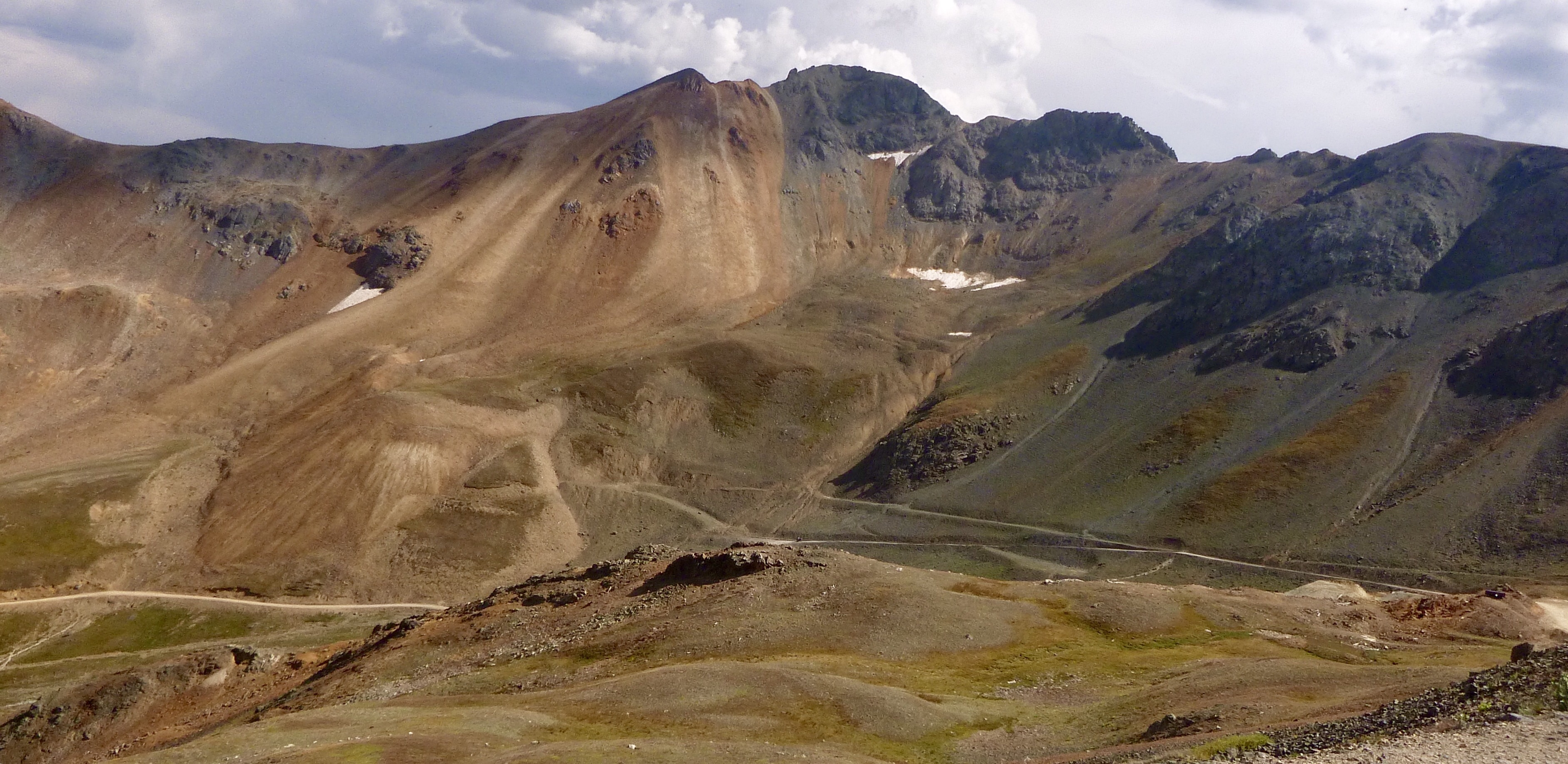
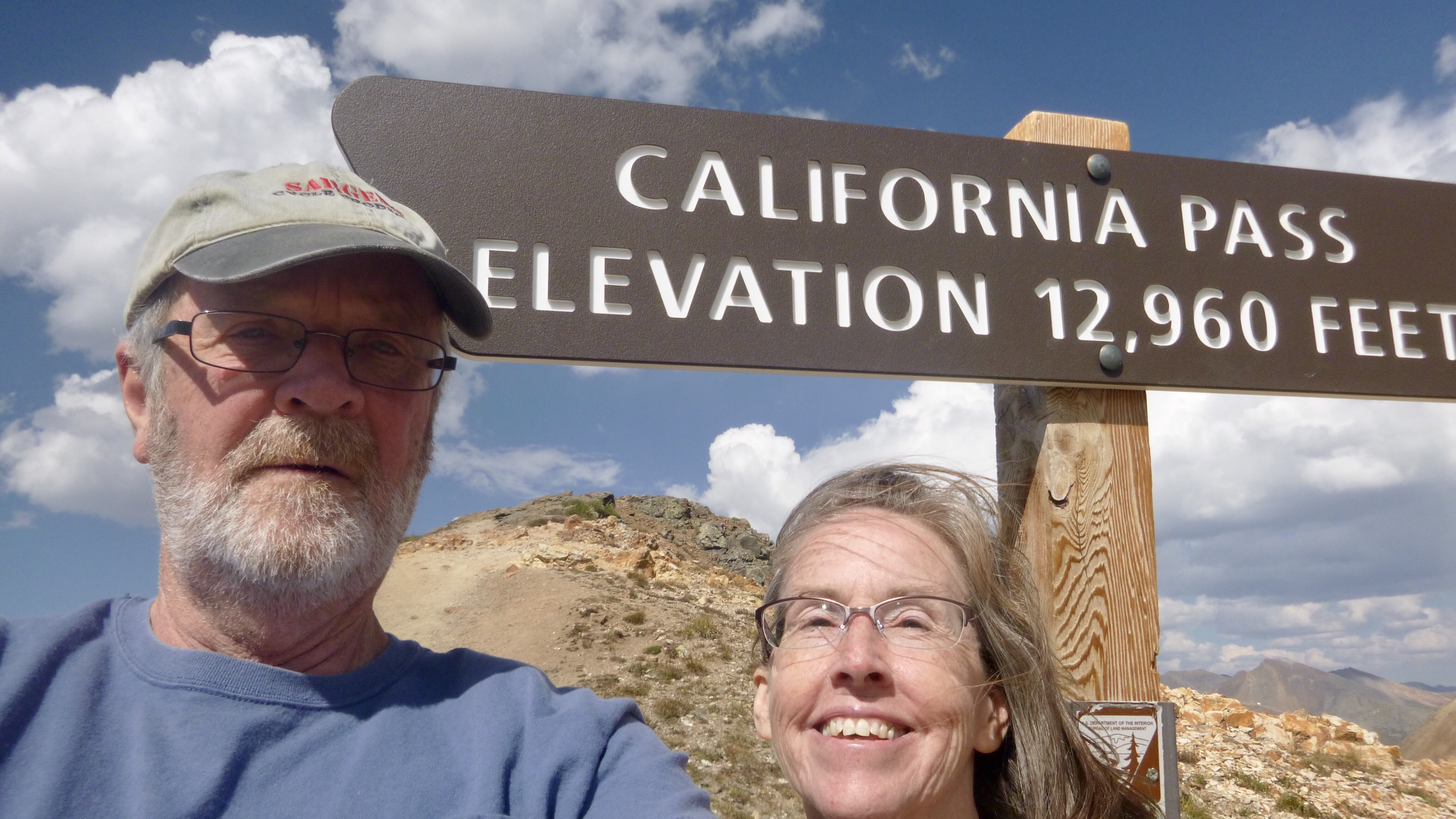
We met this couple up there from England who had rented a side by side. We were leap frogging them on the way up and he agreed to take our summit shot. Their dog Sandy did not want to get back into the vehicle so he had to pick her up and put her in the back. She was glad to be out and able to run free. Soon we climbed back in and headed down the tortuous road to Animas Forks which is a mining ghost town. We couldn’t stay long, just time for a few photos and to tell this man his front tire was flat on his Subaru Outback. Normally, I would have offered to help but we had to go.
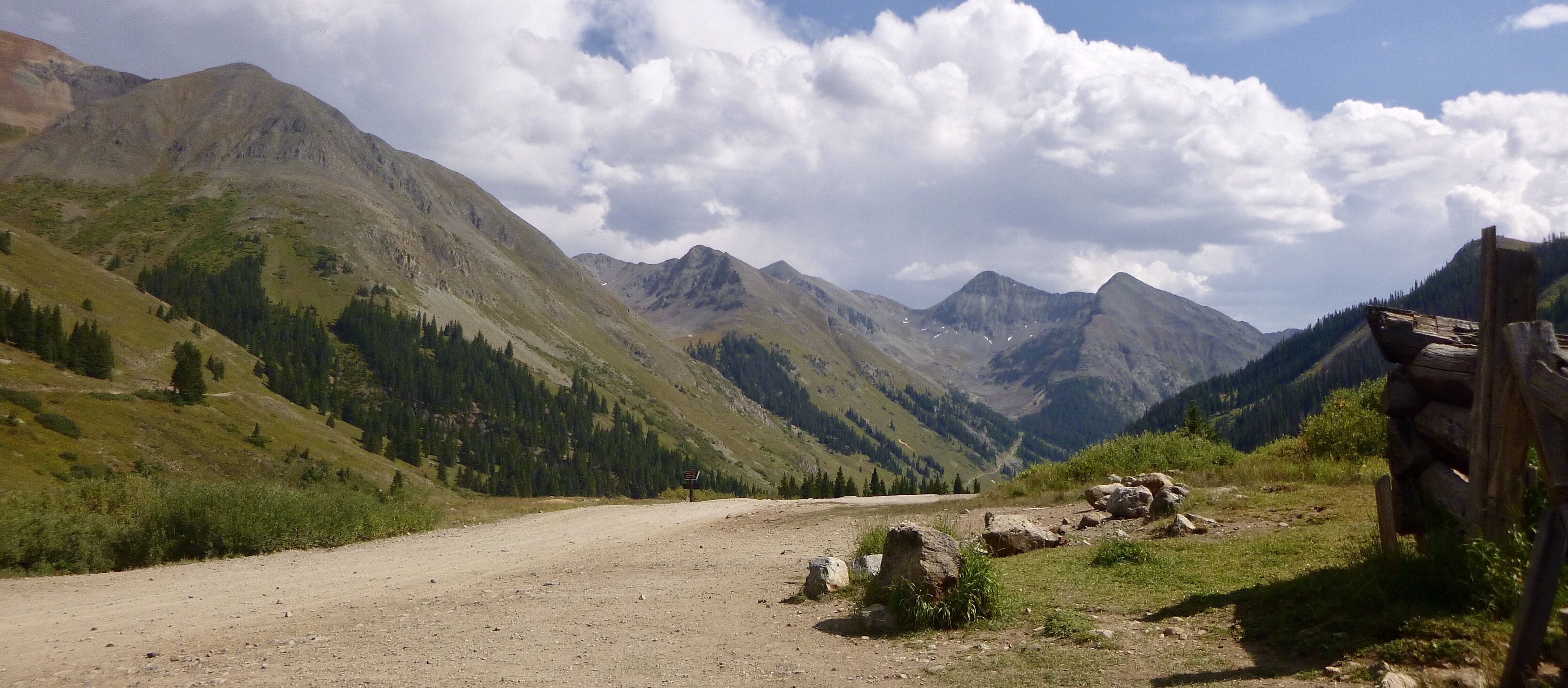
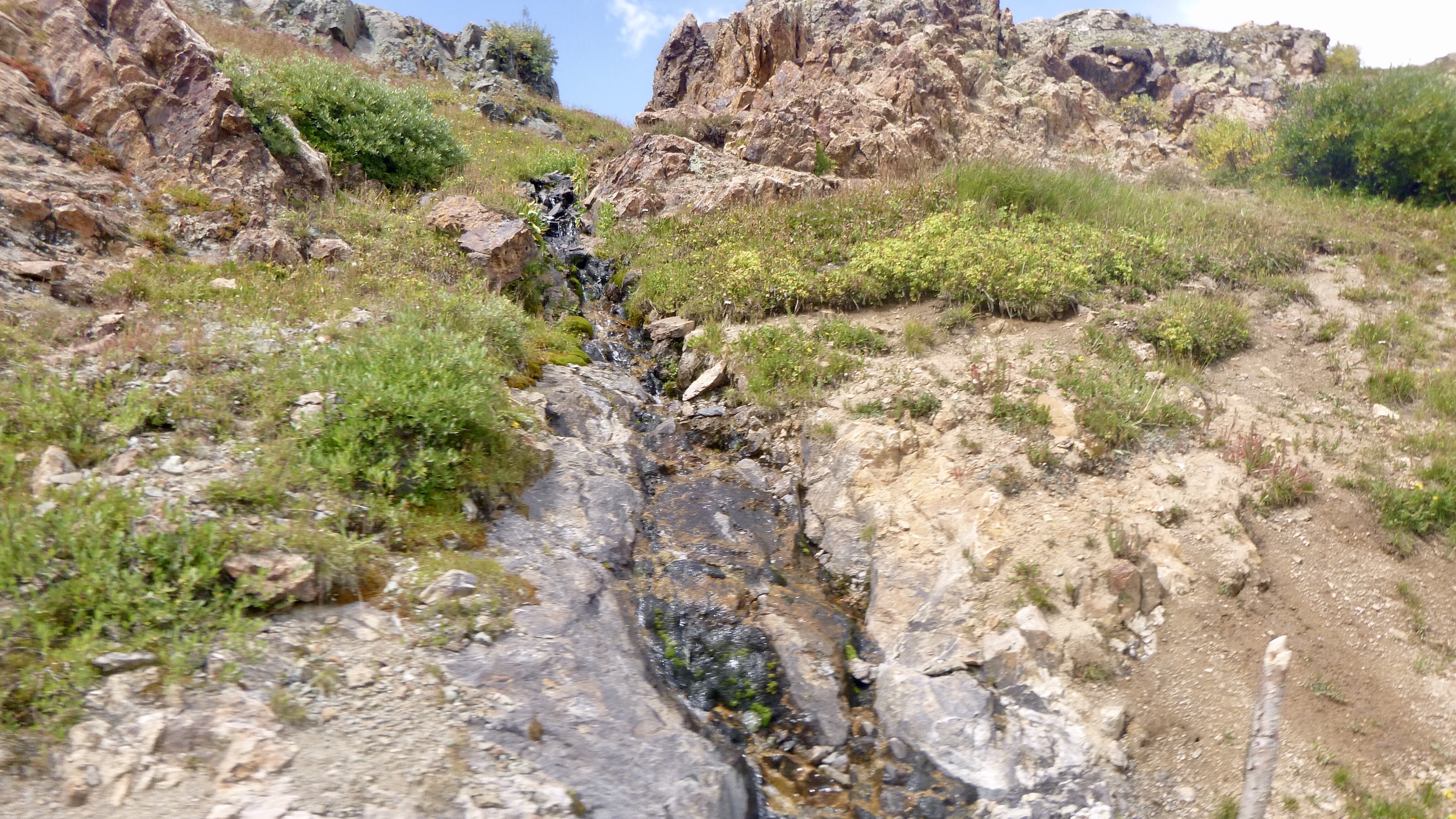
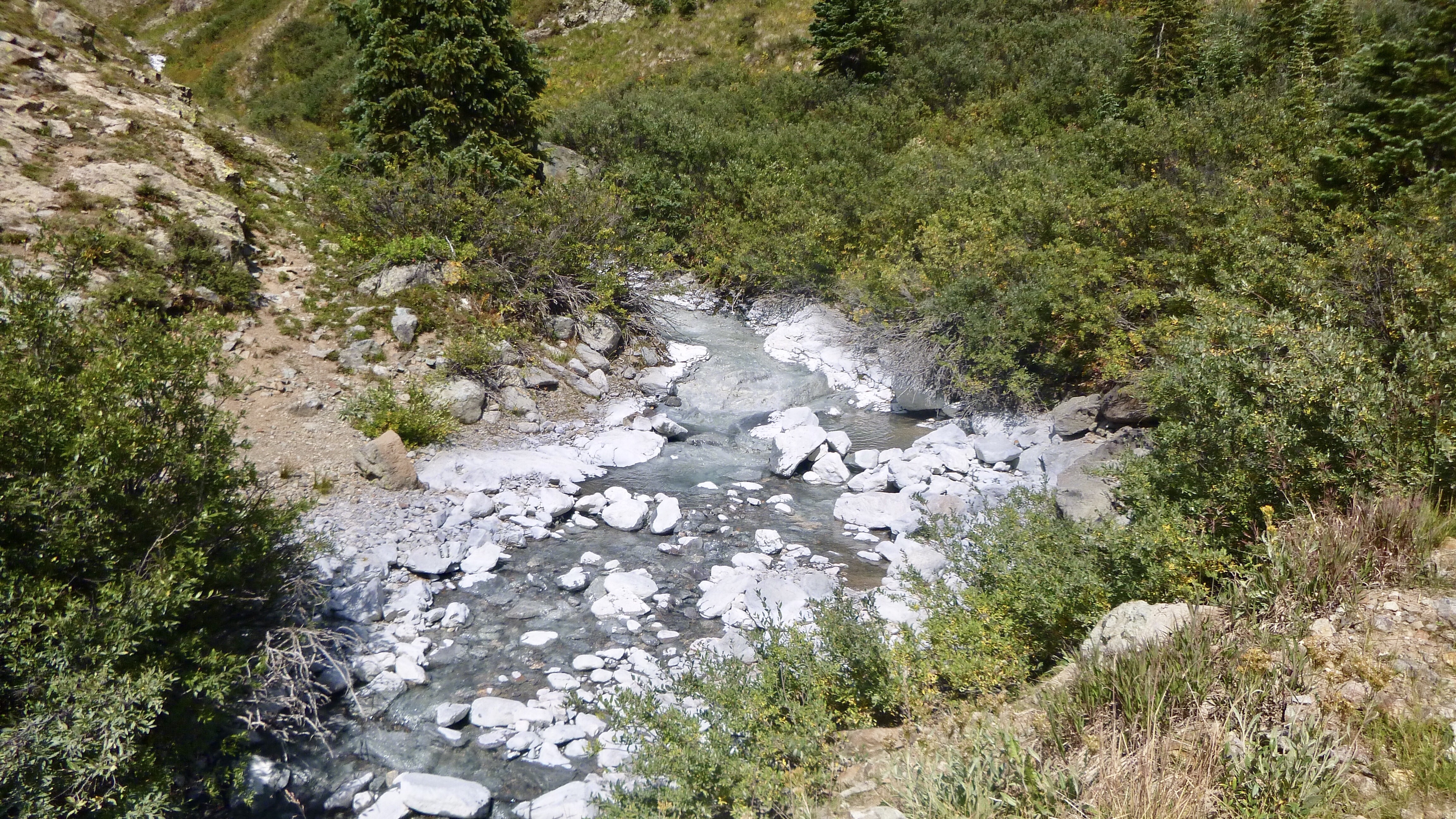
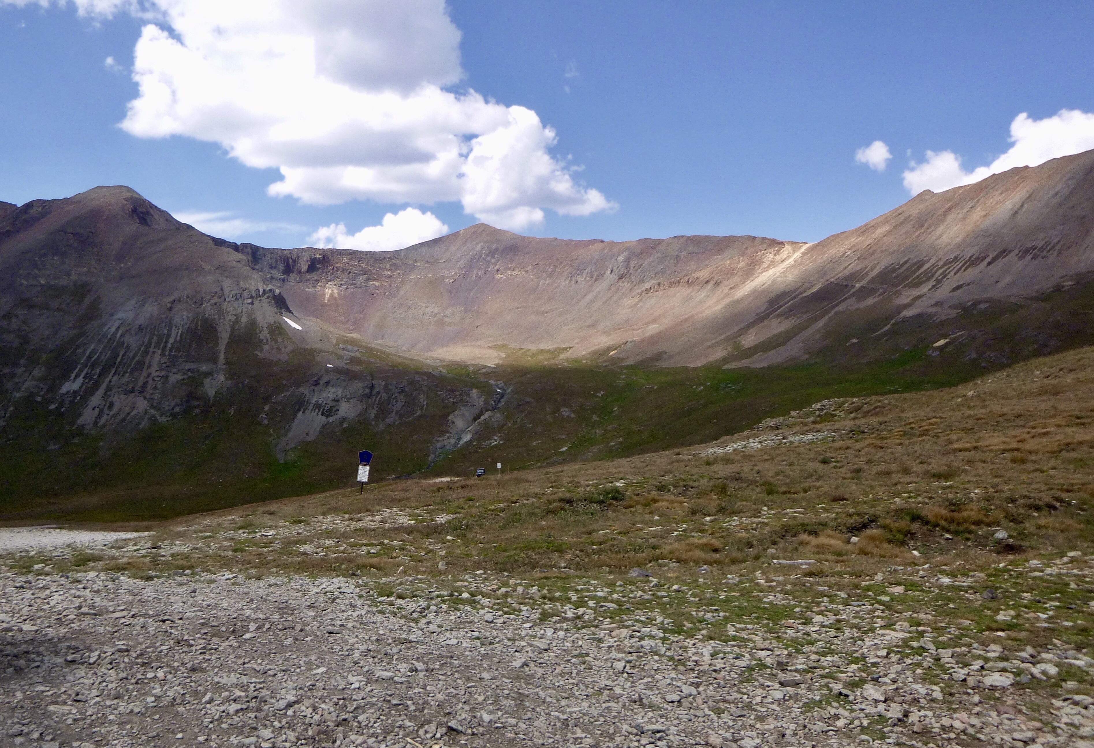
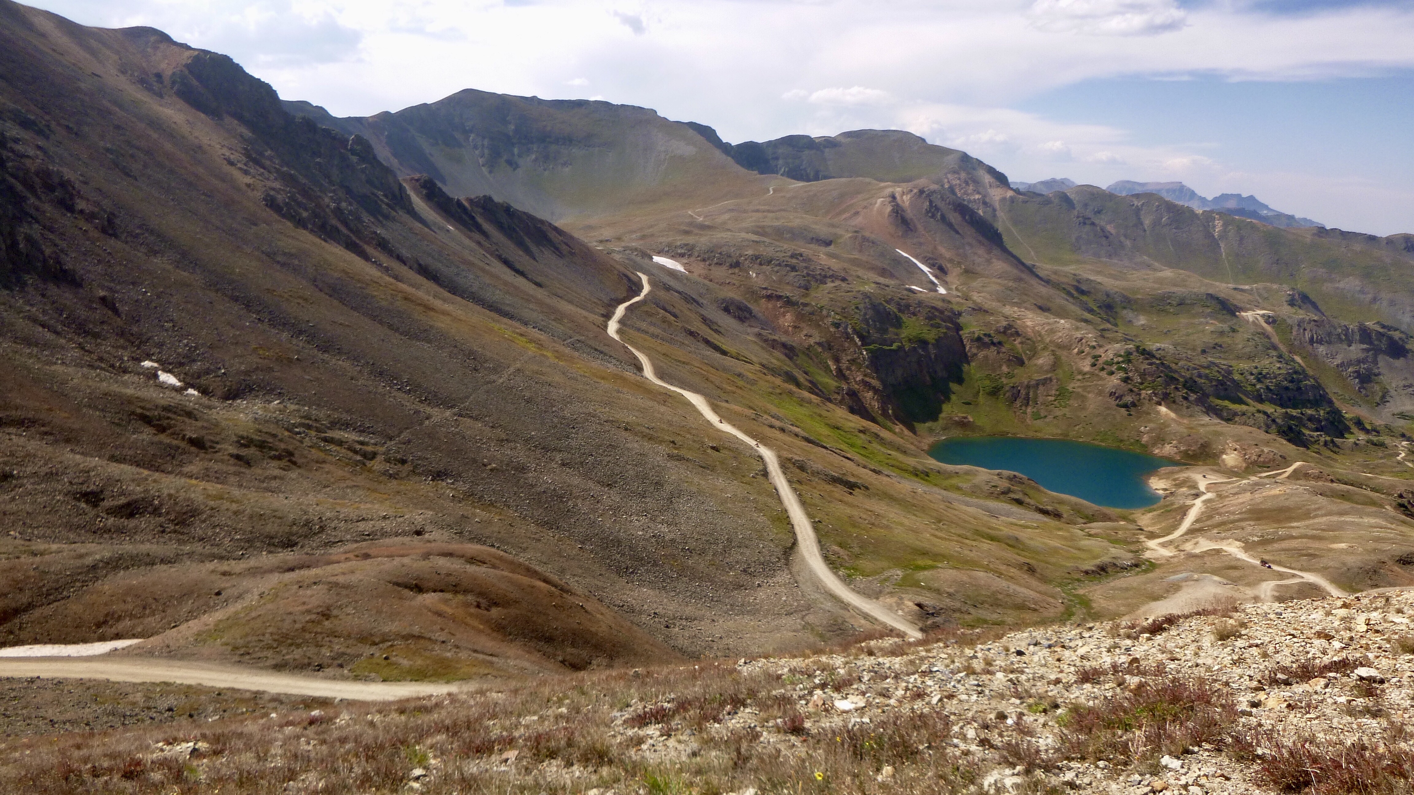
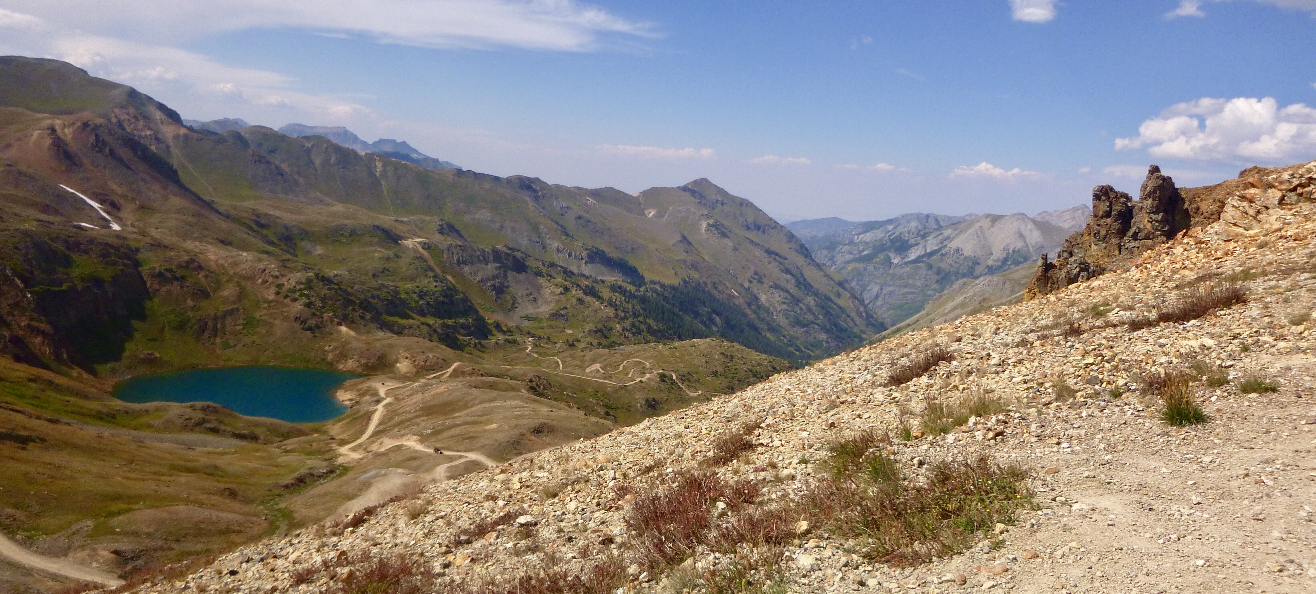
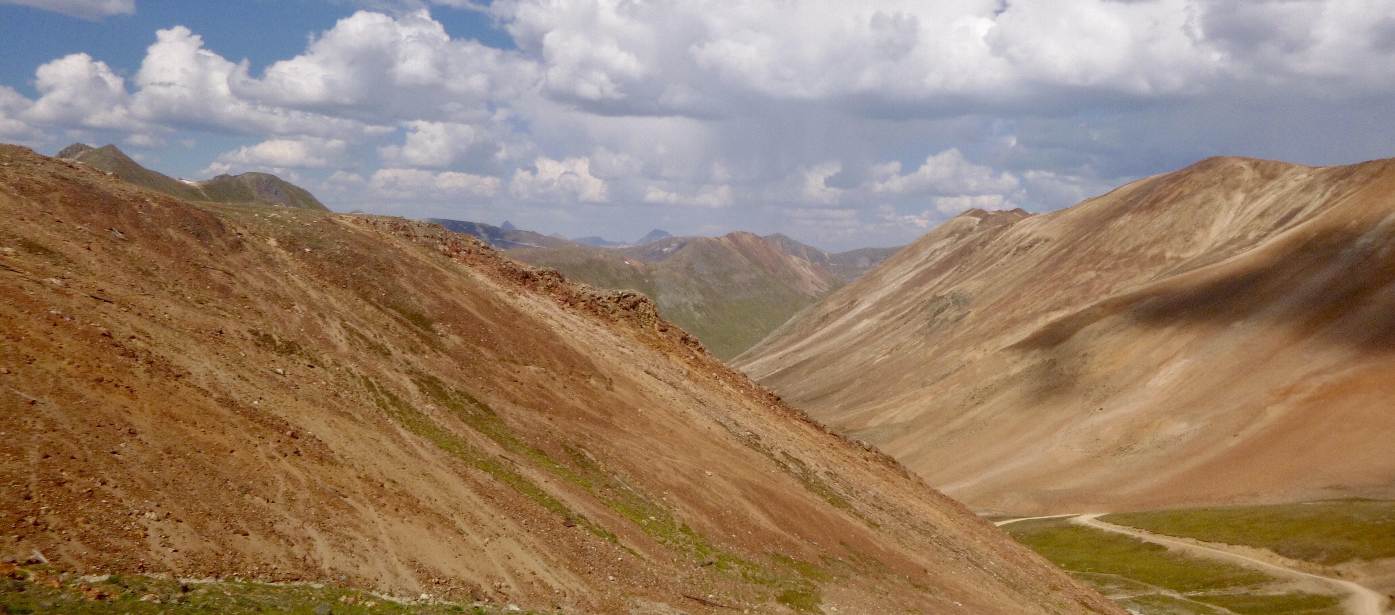
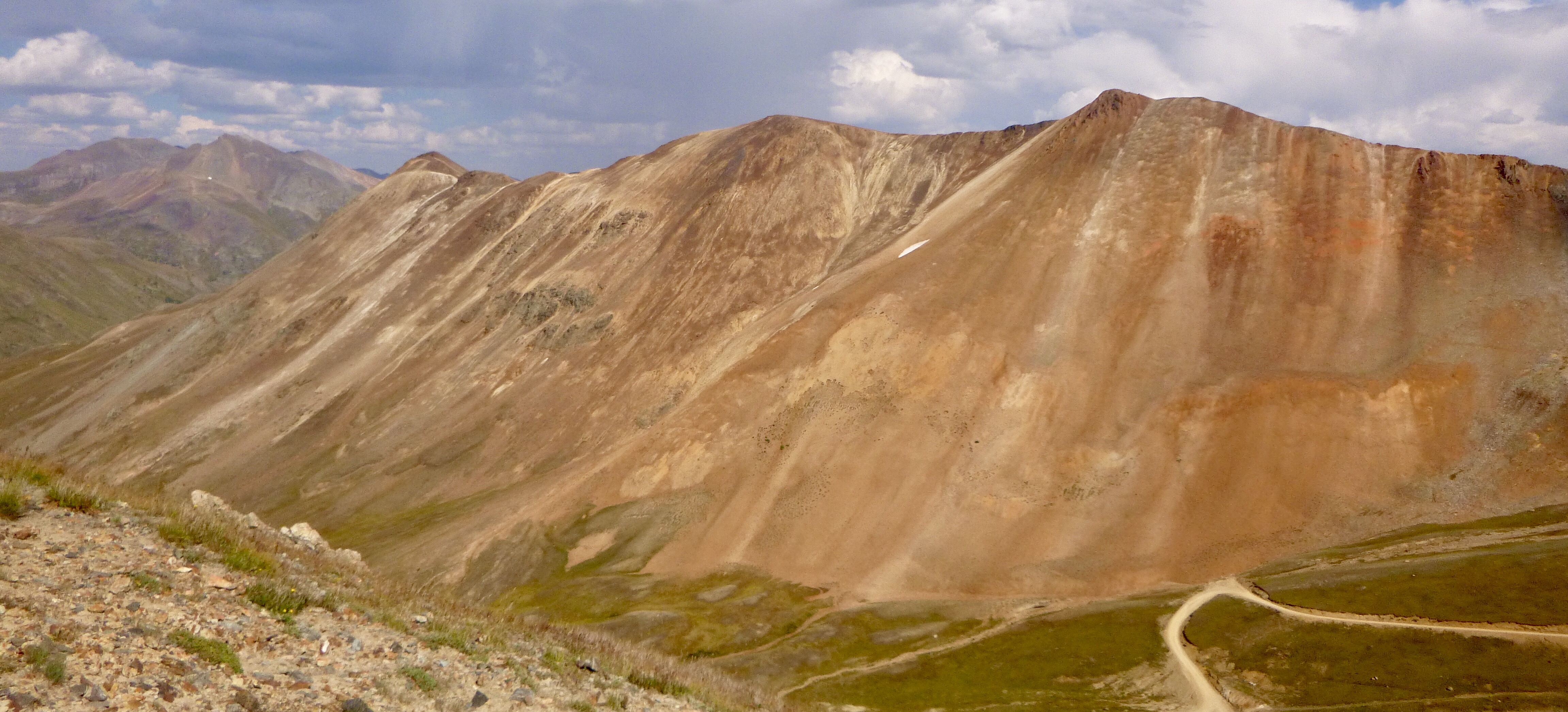
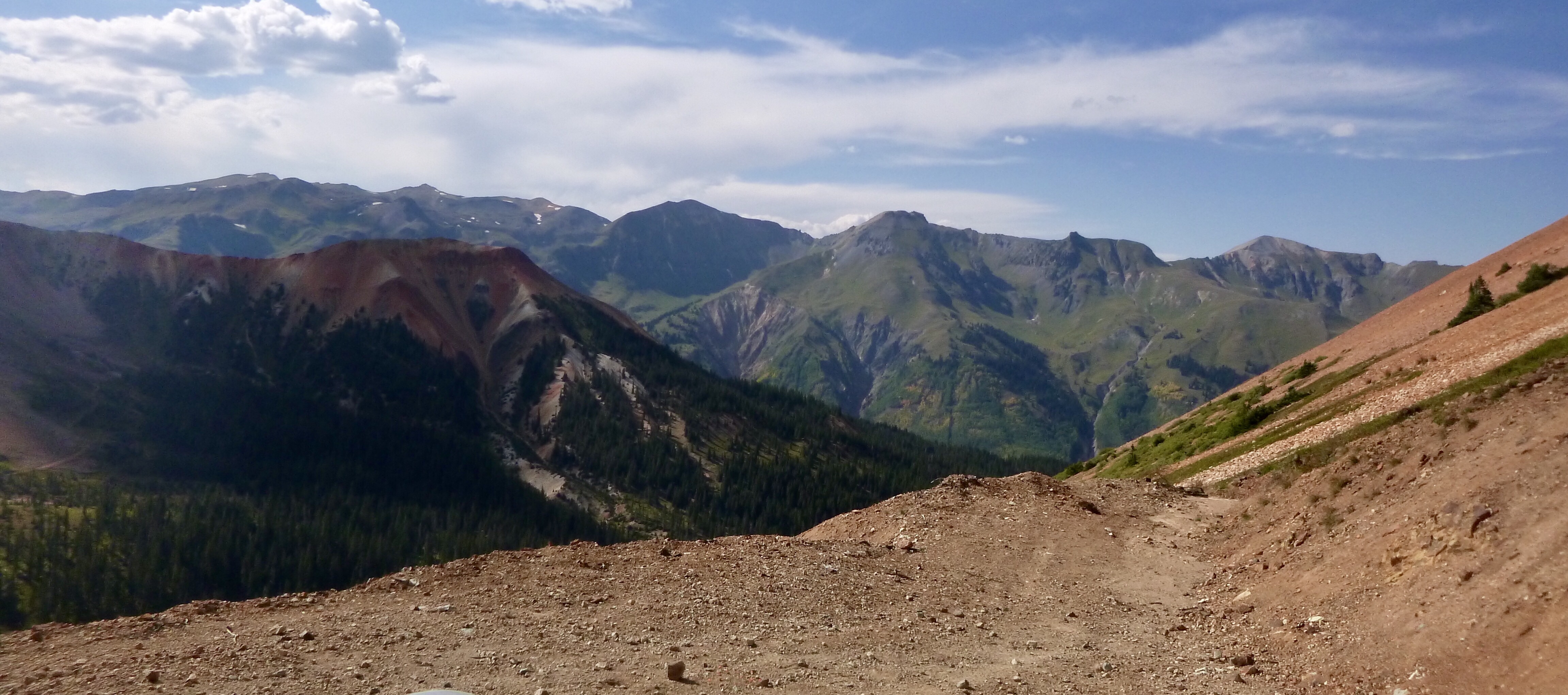
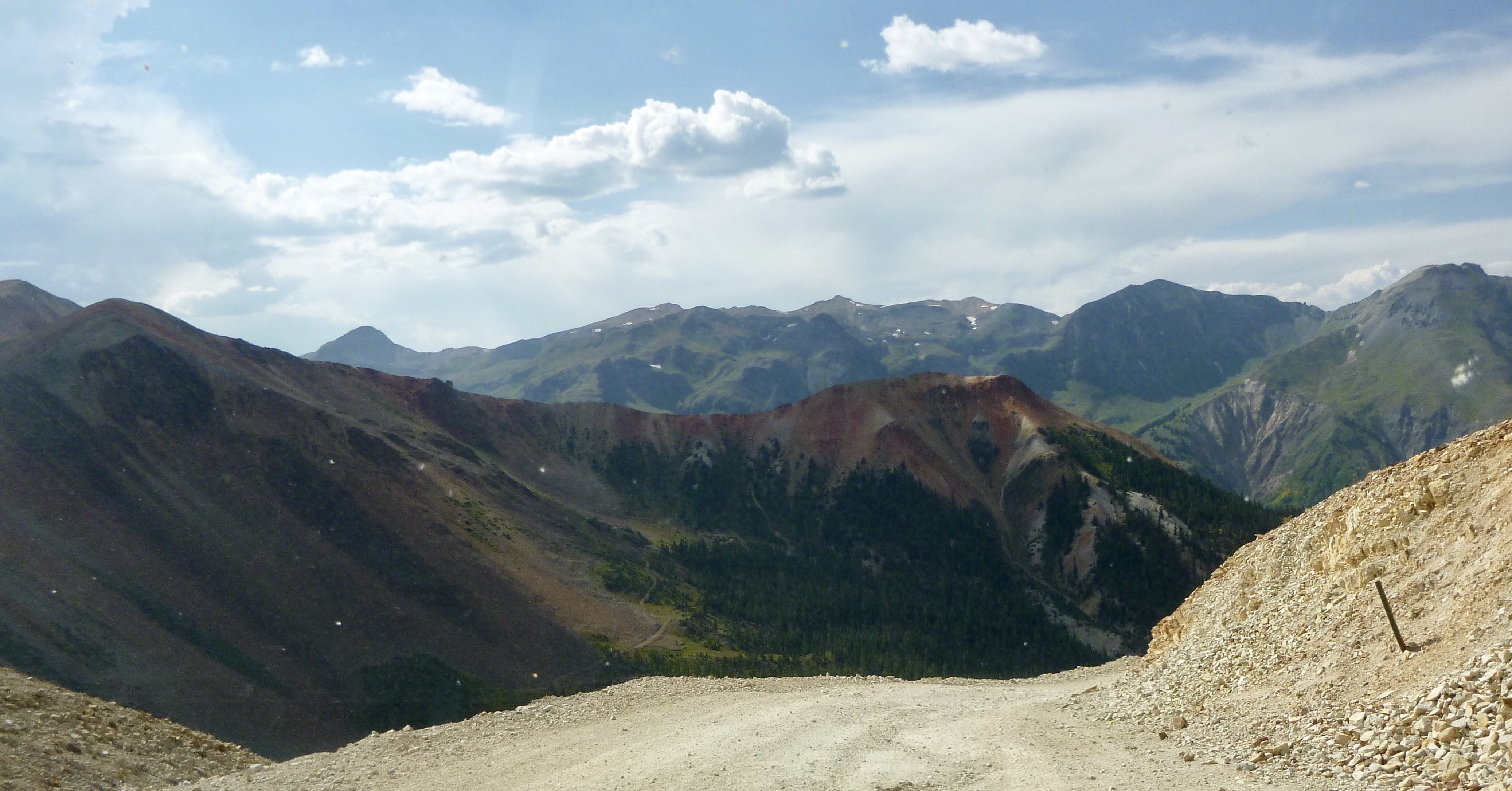
Our next Pass was California Pass. The road leaving the Forks was even worse than anything we had enclosed far. I even thought about turning around and taking an alternate route to Silverton. But, we just took it slow and moved on. There was lots of traffic coming down from the Pass including 10 jeeps from Texas. There was a broke down Jeep parked on the side of the road. Pretty soon we were at the Pass. The stark beauty of this area is astonishing.
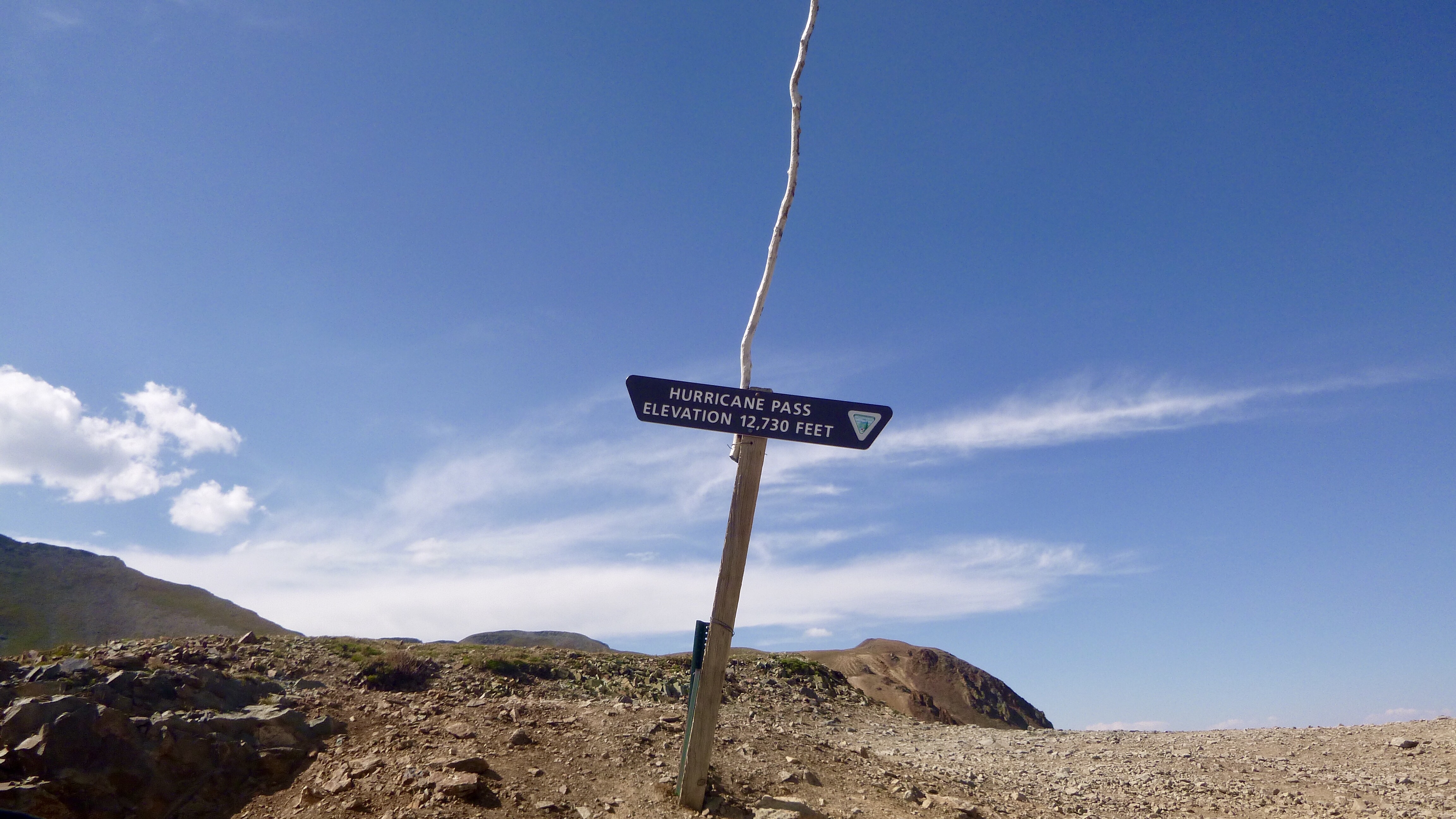
Our next Pass was Hurricane Pass. Nothing much to be said here.
After this was an experience so terrifying and fun, Disney should make a ride out of this. It is called The Corkscrew and they warn you about making sure your brakes are working ok. It seemed like we were going straight down with tight hairpin turns. I had a white knuckles grip on the steering wheel and Sharon had a death grip on the door handle. This is only wide enough for one vehicle so you had to look ahead to make certain that nobody was coming up! We couldn’t even take pictures. There are videos on YouTube if you care to watch.
Then after that was 20a which takes you down the rest of the way to hwy 550, aka The Million Dollar Highway. 20a was a trip by itself. It wasn’t rough just a lot of small hills to help with water runoff.
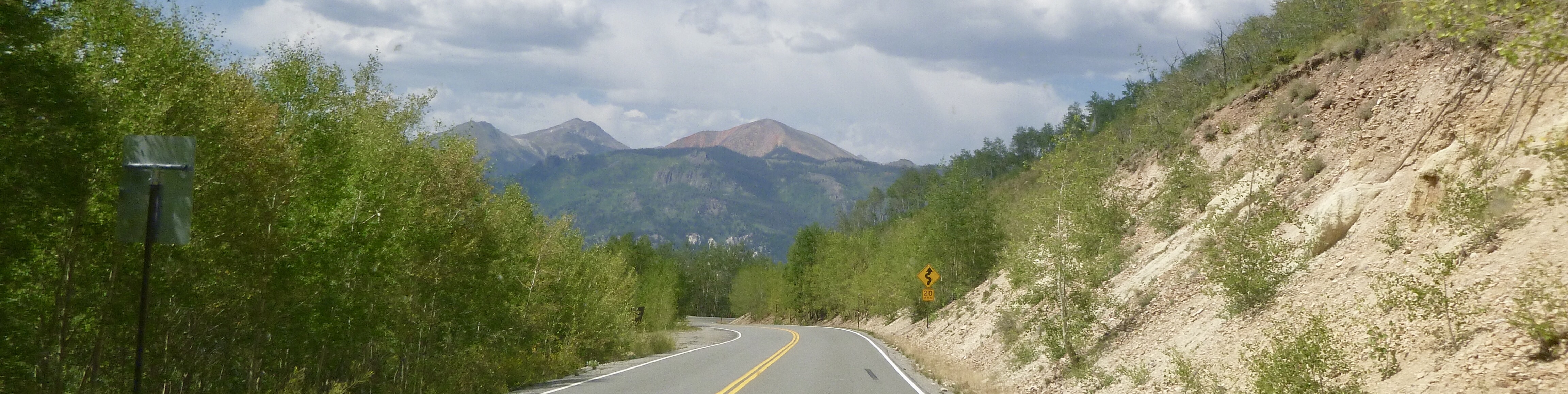
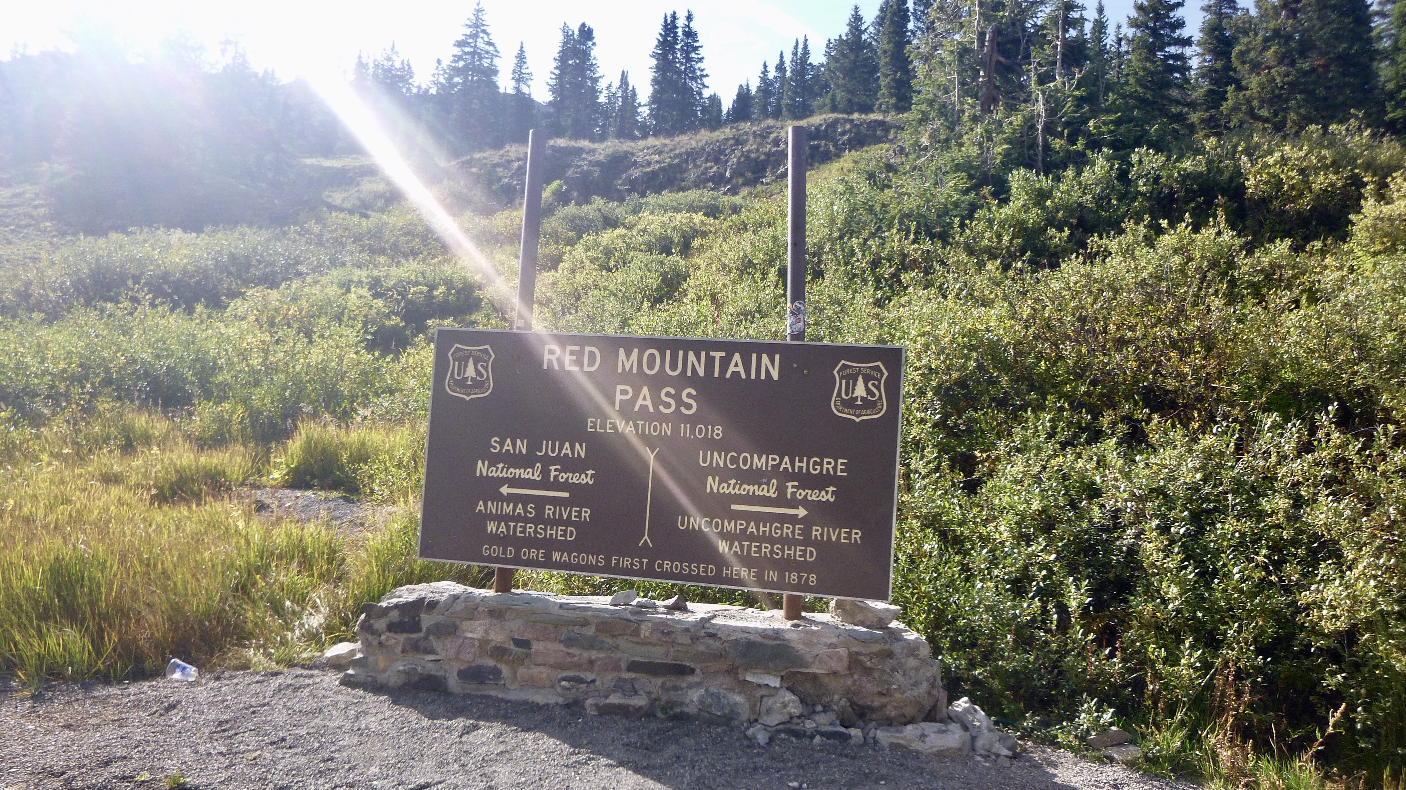
Our last Pass for the day was Red Mountain Pass. We’ve been over this Pass many times. I have a picture somewhere of me at the Pass from when I was a young pup.
We finally made it down to 550 and headed for Silverton where we had a fantastic dinner and local brews at The Handlebar Mustache. There were lots of locals in there adding a lot of color to the place. We walked back to our motel as the sun was setting over the ridge. It was cooling off fast. None of the motels in town have air conditioners, none needed! We were so tired, lights out at 8:30!
Long post, for a long but rewarding day.
Leave a Reply