We actually stayed in Pocatello, ID last night and had a 20 mile drive to American Falls. We were up early, dressed, packed, and ready to go…to Denny’s for breakfast. Normally, we would not eat there but today was an exception. It was convenient to the motel and the on ramp to I84 west.


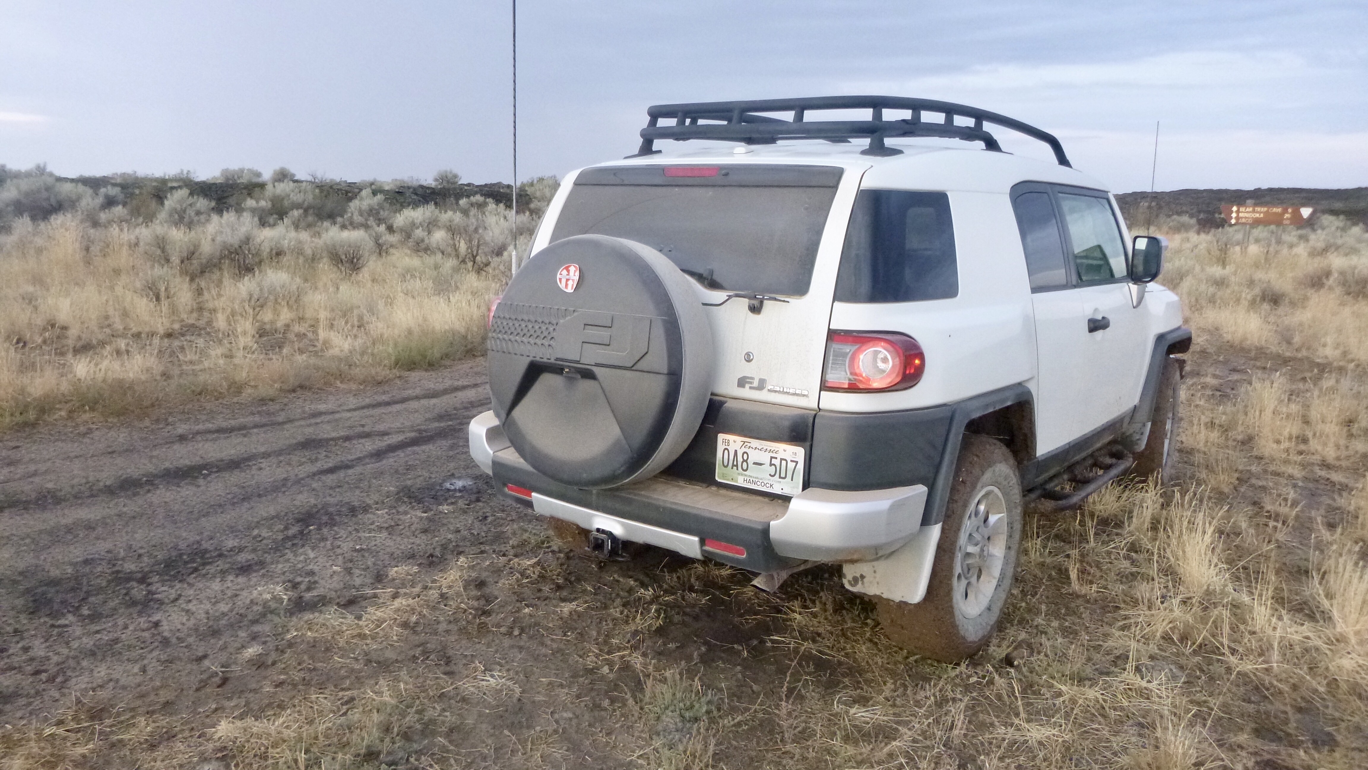
After the quick drive back…the speed limit is 80mph…we were back in AF and got through there before depression set in. Right outside town we were on wide and fast gravel roads going through farm country. As we moved through this area, the roads got smaller and smaller until we reached the warning sign for the road ahead. Not fearing any road we plunged in the the fray and before long we were being jostled about in the heavily rutted and rocky road. Making very slow process, he skies started to darken and the sprinkles started. This is a pure dirt road and becomes a nightmare in the rain. I didn’t start to worry until we reached a very muddy stretch as I had no idea how long it would go on. I knew that our next waypoint was in about 7 miles. Could we make it? Would we perish out here? Nah! There was no way the FJ would allow that to happen. I picked my way through the mud holes and after a mile or so, we were out of the mud. The dirt was still wet from the short rain, but not a problem.


The road we were on is called Ica Cave Road. It is named appropriately as there is supposed to be an ice cave at the end of the road. An ice cave is just what it sounds like. A cave that has ice in it year round. I hate caves, so wasn’t too keen on finding it, but we did got out and made a small effort to find it. We don’t know or care if we did.👴🏻


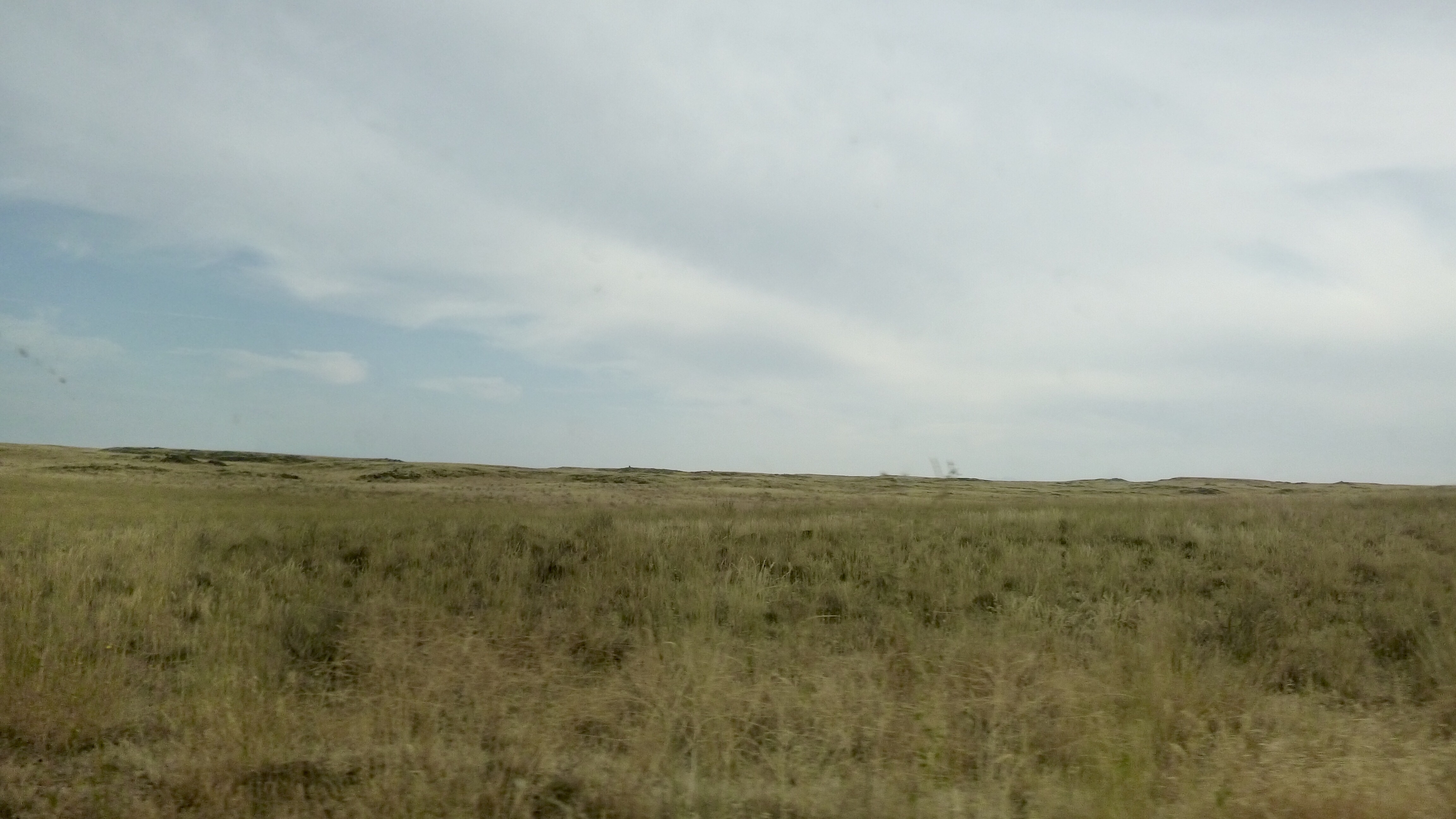
We then turn onto the Minidoka-Arco road, aptly named as it runs between the towns of Minidoka and Arco. At the turn, the road was wide and nicely graveled. I thought it was going to be a cakewalk to get to Arco, 51 miles north! We went around a corner and the nice road disappeared and we were left with a dirt two track road. There went our quick trip to Arco. The road was rocky and a bit slow going, but nothing we couldn’t handle. The terrain reminded me of the Australian Outback I had seen in pictures and movies.


We started to see volcanic rock formations from time to time. Lots of huge pheasants would fly up from the grass as we passed by. One bird was so traumatized that he flew off to the west and didn’t stop. The only mammal we say was a pronghorn who seemed to be chasing that pheasant.


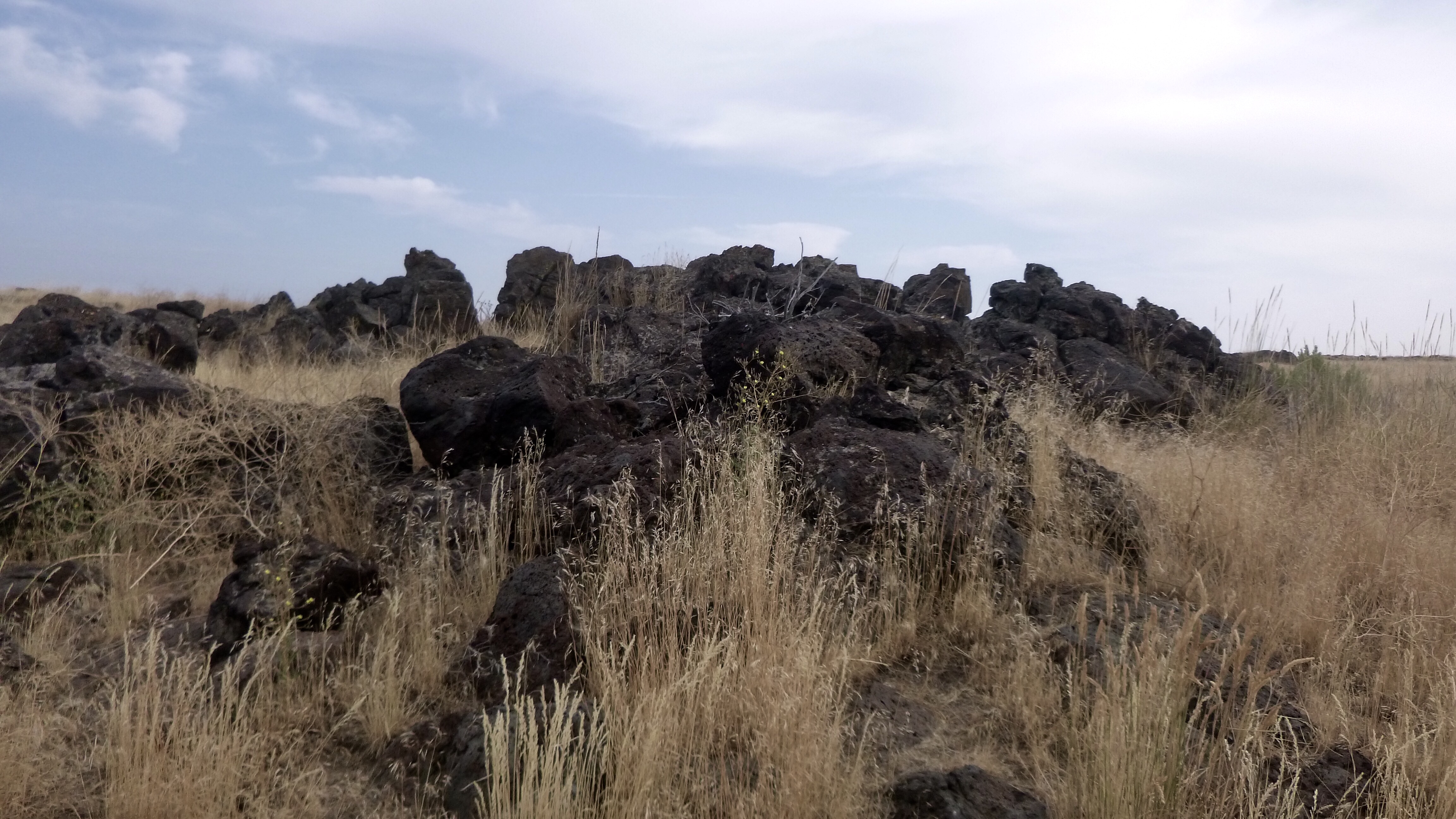
Soon, we were in Arco and we decided that since we had time, we would drive down to the Craters of the Moon National Monument. This is a place that just appears out of nowhere. Grasslands all around until all of a sudden volcanic rock everywhere. We learned that the cauldron that is presently under Yellowstone NP used to be here some many million years ago. The cauldron has been moving to the NE for many millions of years. Google it for more details. Buy land NE of Yellowstone so you can get in on the action when the cauldron moves again.


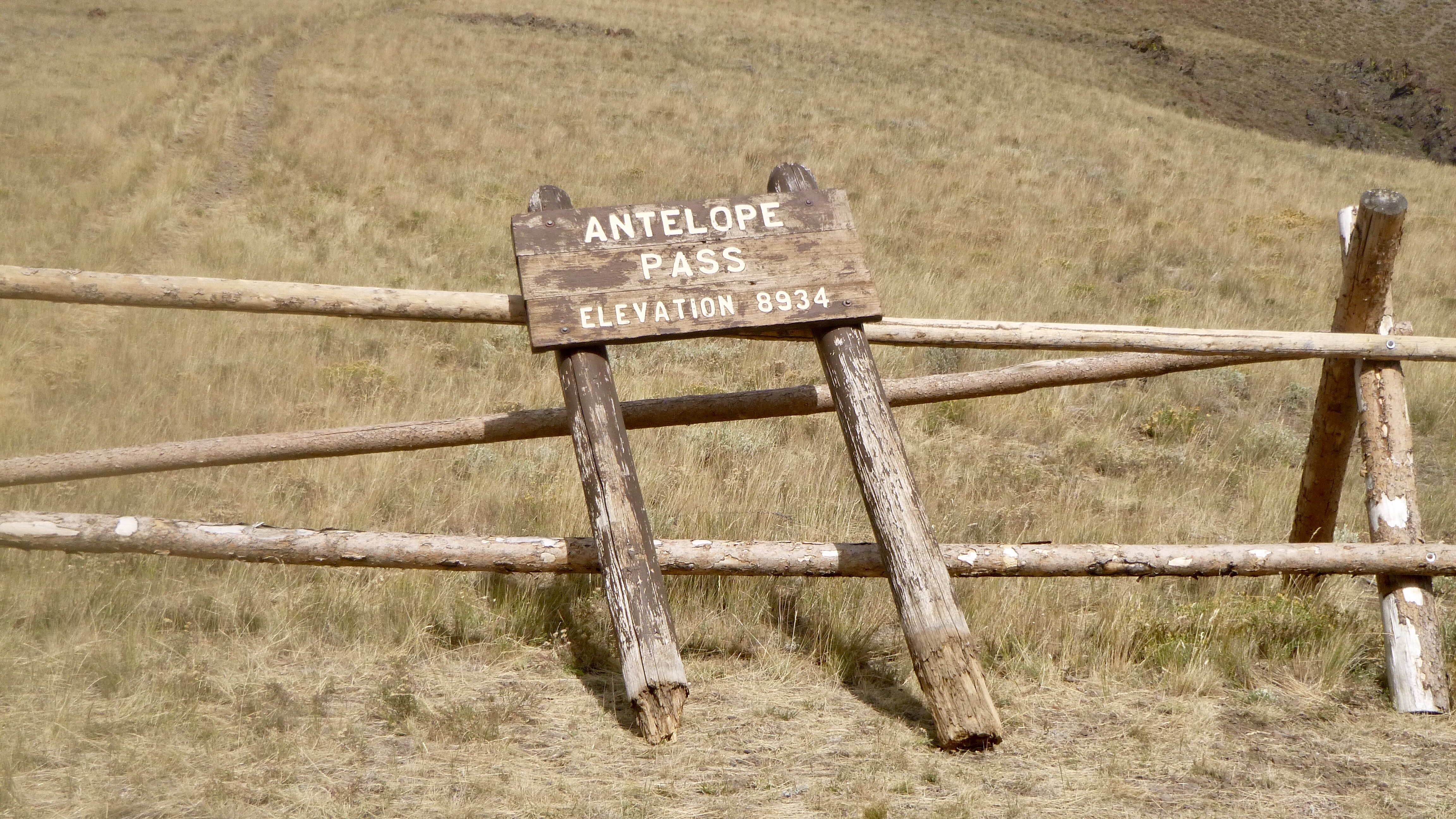
After that, we went back to Arco for lunch where we met some TAT riders at the diner and two more riders at the gas station. We gassed up and took off for Antelope Pass. The road up there was steep, narrow and rocky. Great views all around. There was a lower Pass on the way up, called Bear Creek Pass at 7500 feet.


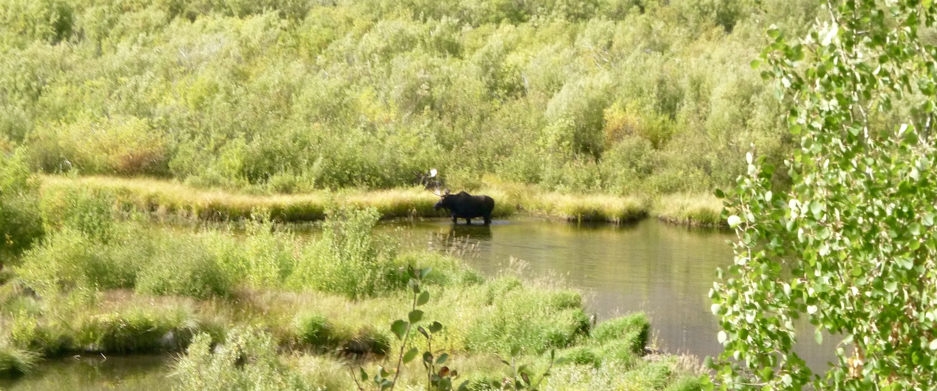
After that we meandered around and before long were descending into the Sun Valley/Ketchum/home of the Range Rover area. Never seen so many RR in one area. None of them look to have ever been off road. Before we reached the town, we both spotted a moose standing in a creek, so we stopped to get a picture and discovered another moose laying down on the side of the creek. These were both bull moose. Didn’t see any cows.


We had made reservations at The Tamarack Inn, conveniently located to all the high end shops and boutiques none of which were open. I think that the proprietor saw us pull up in our dirty and muddy FJ and said we could park around back by the dumpsters and current carpentry project. Well!🤗


Tomorrow, our tour of Idaho will come to a close as we approach the Ontario, OR area where we begin our last state on the TAT. We will have to reroute around a huge forest fire so won’t get to see any of the area. Not that we’d want to now that it is all burned up!
Leave a Reply