After a good breakfast at the Quality Inn, we had our gas tank filled, you can’t pump your own gas in OR, and struck out for the trail. We struck out, literally. We couldn’t find it. Looked and looked, nothing to be found. Hint to future TAT riders and drivers. Wait for the sun to come up! We finally found the right road and we were off.
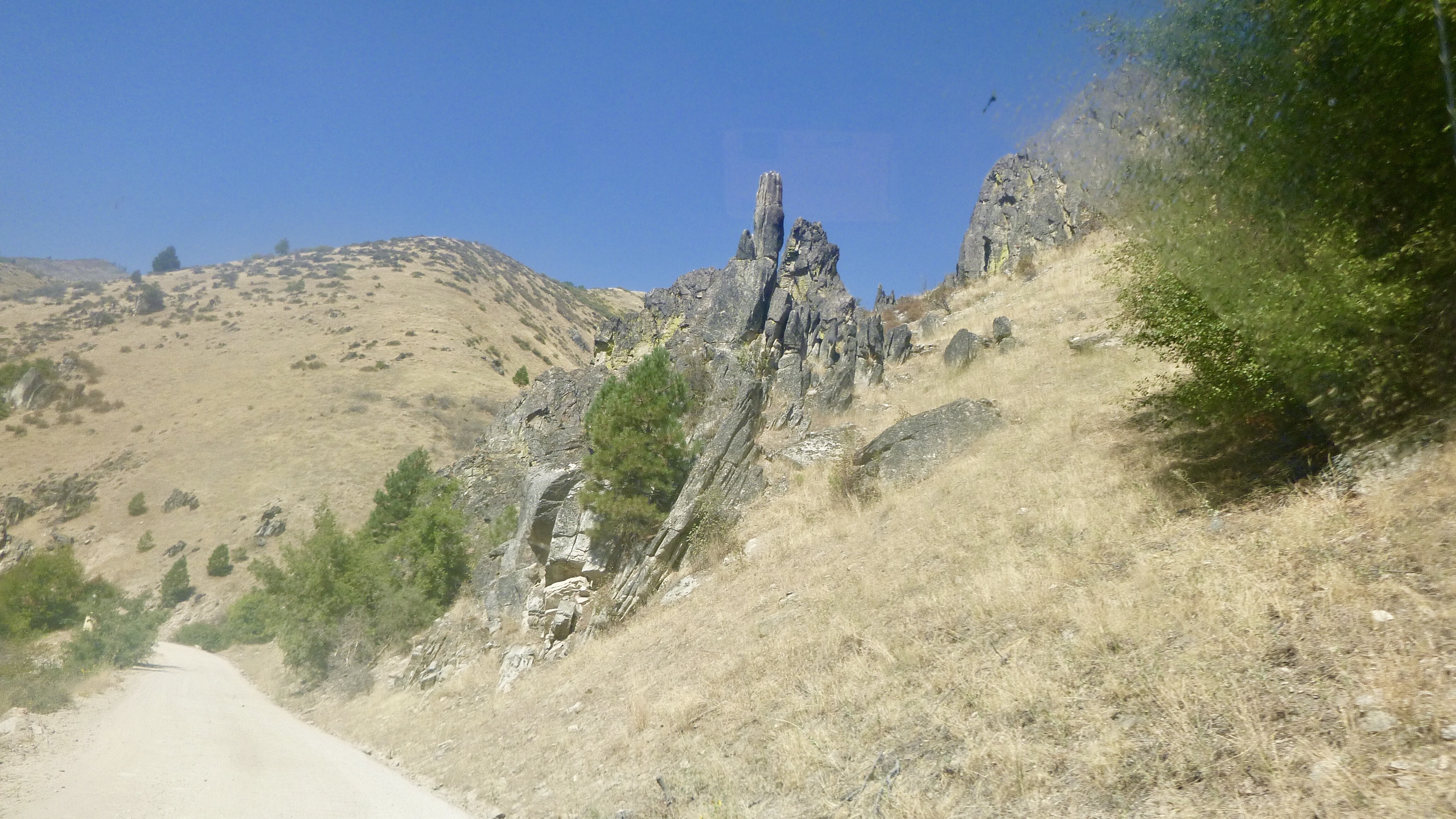
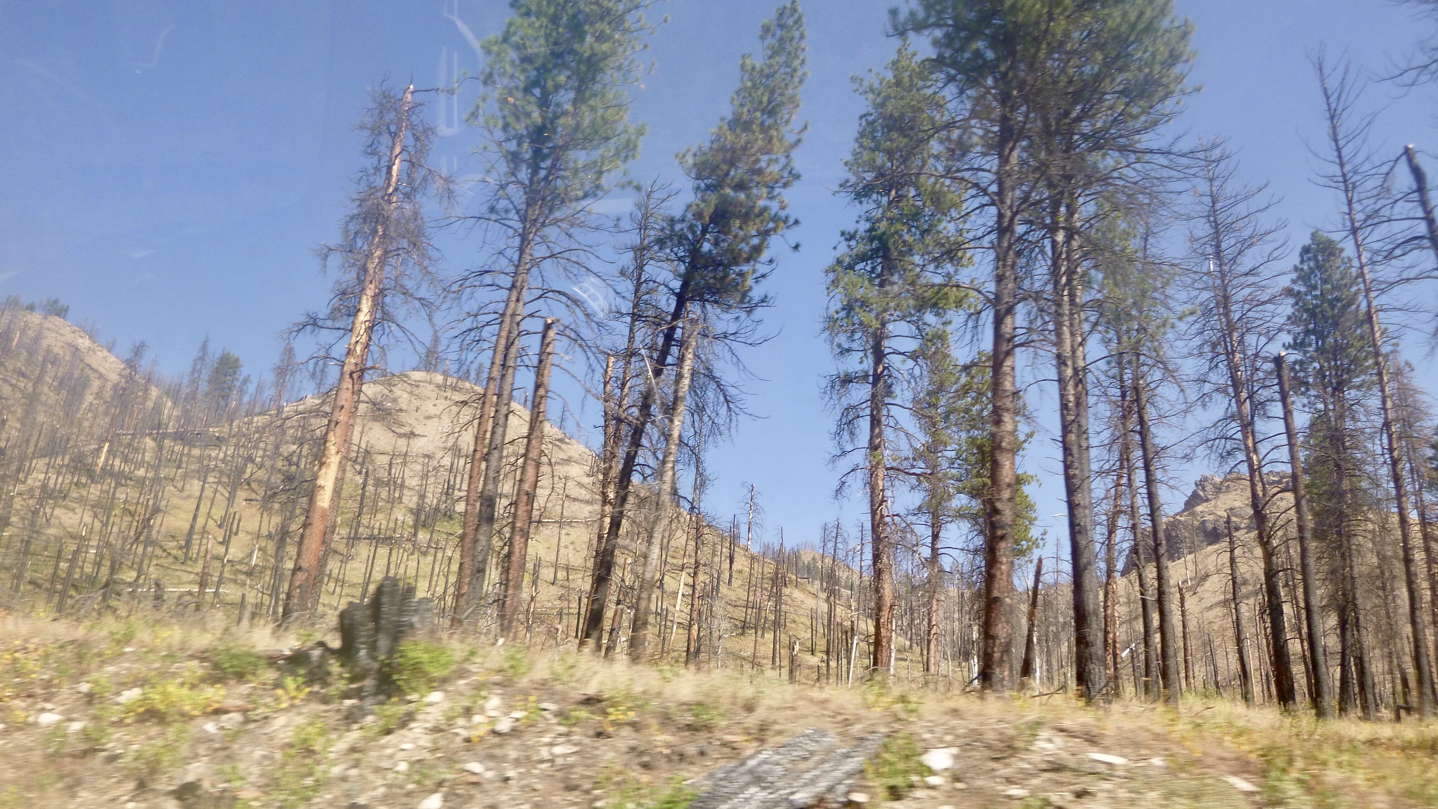
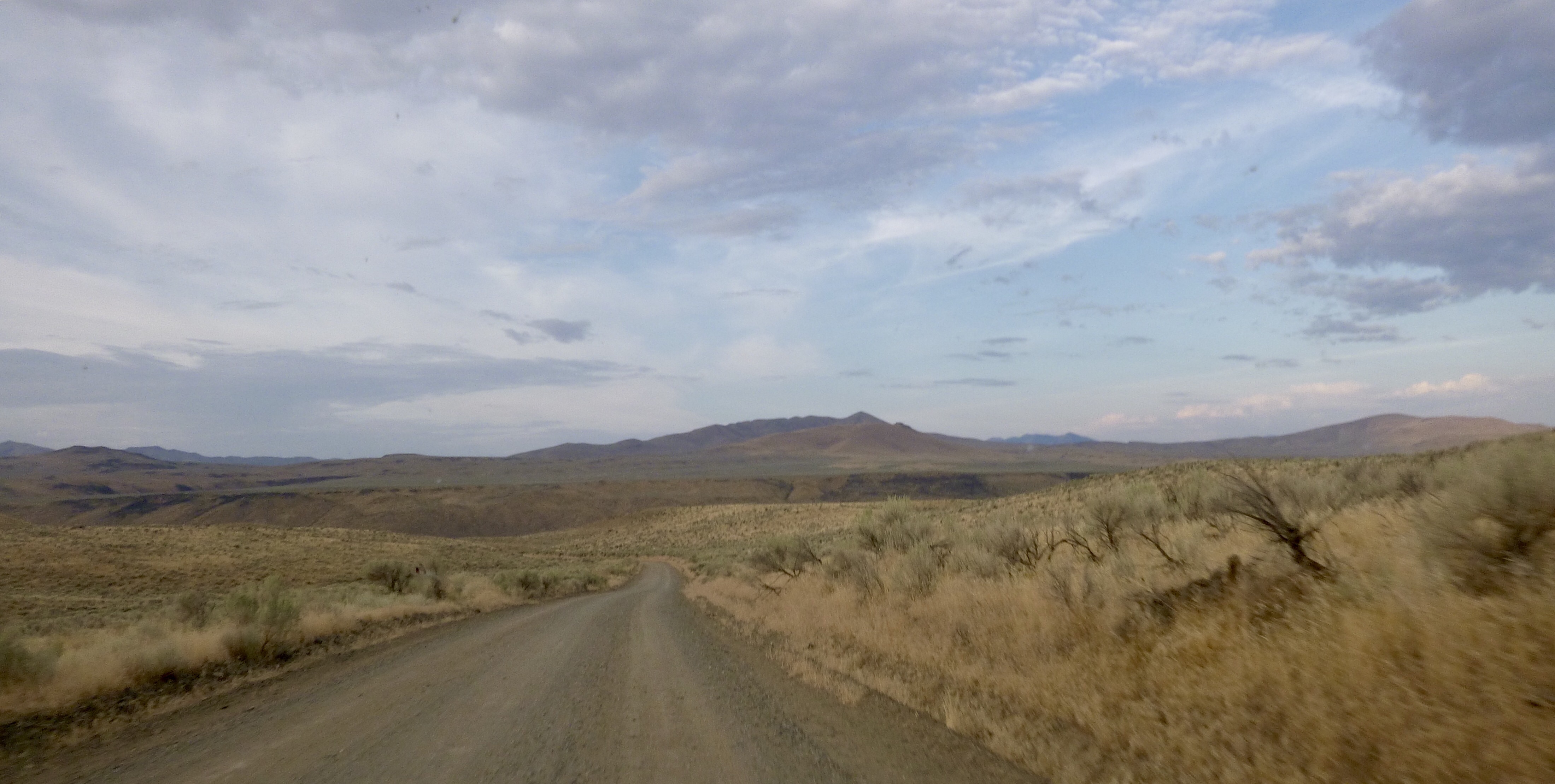
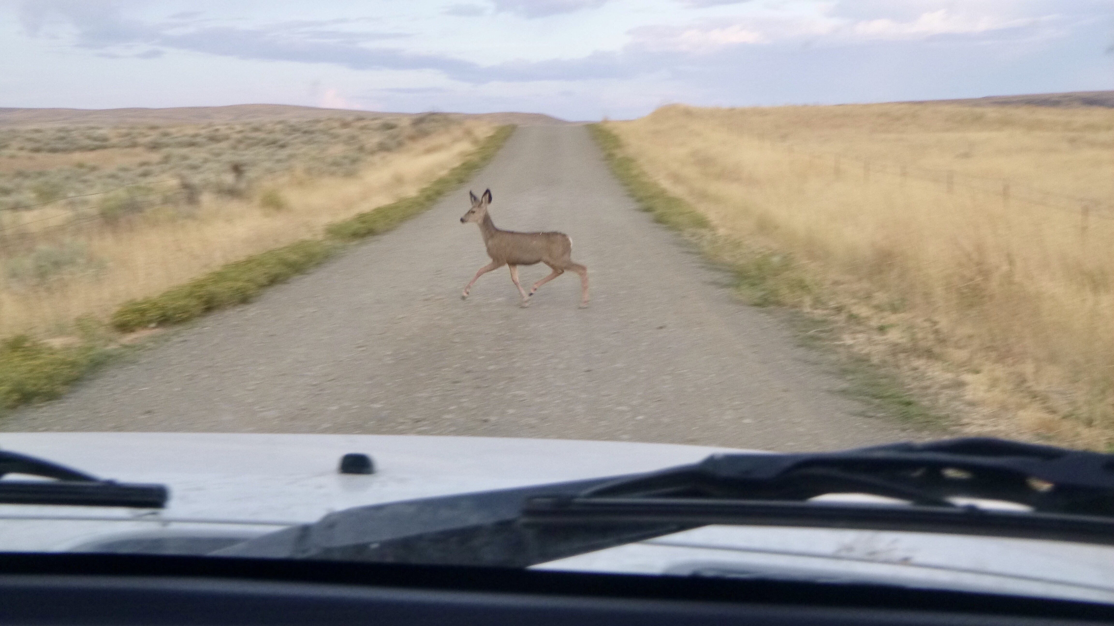
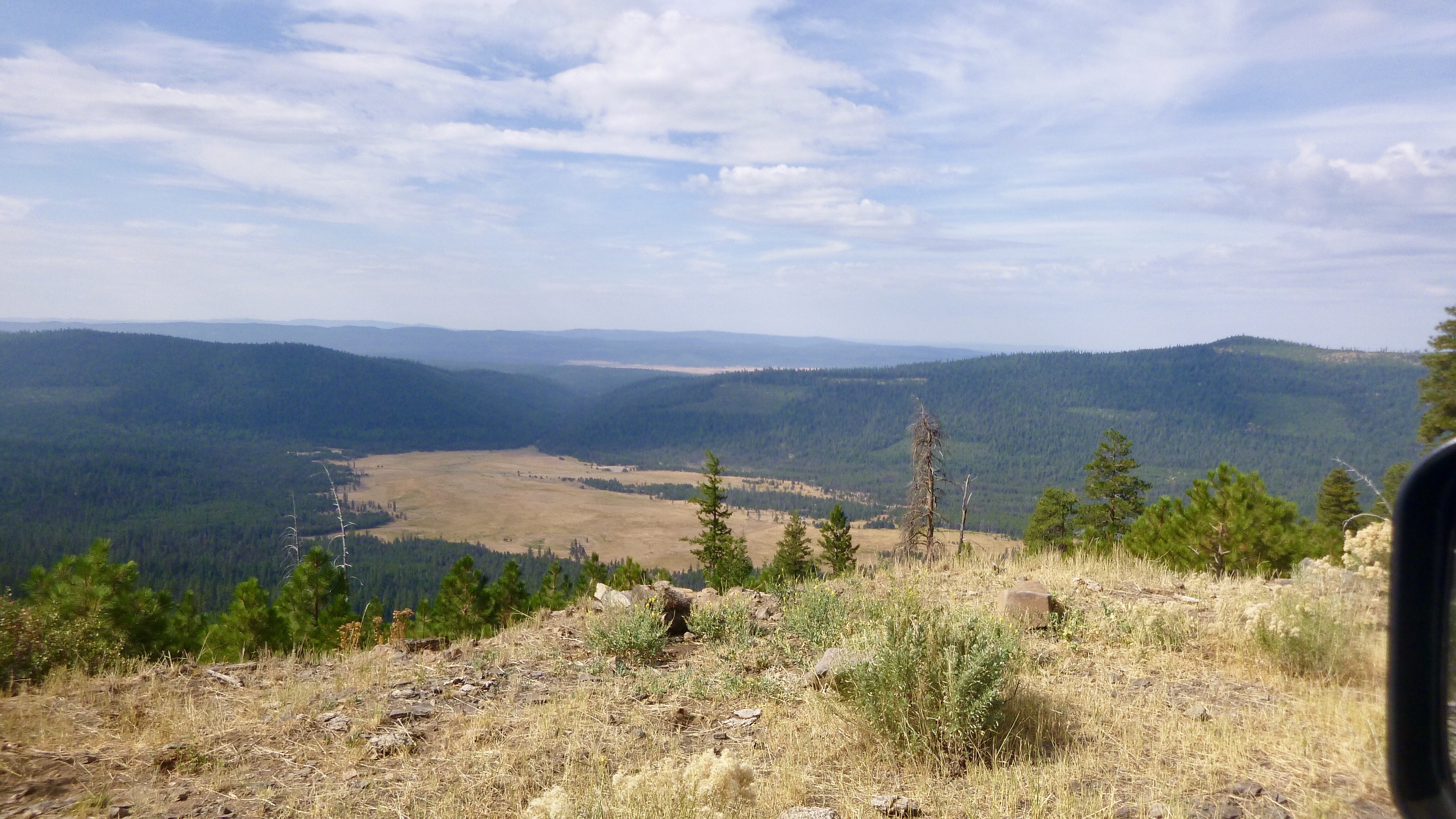
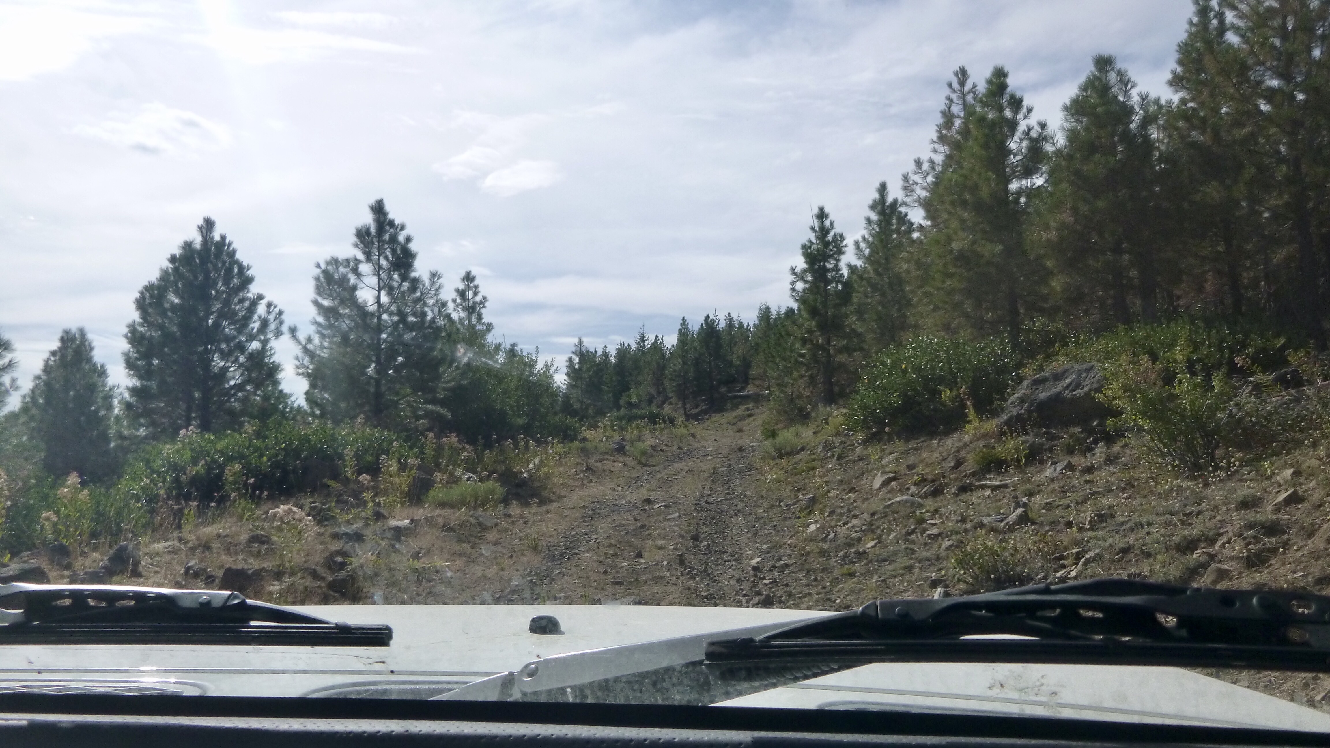
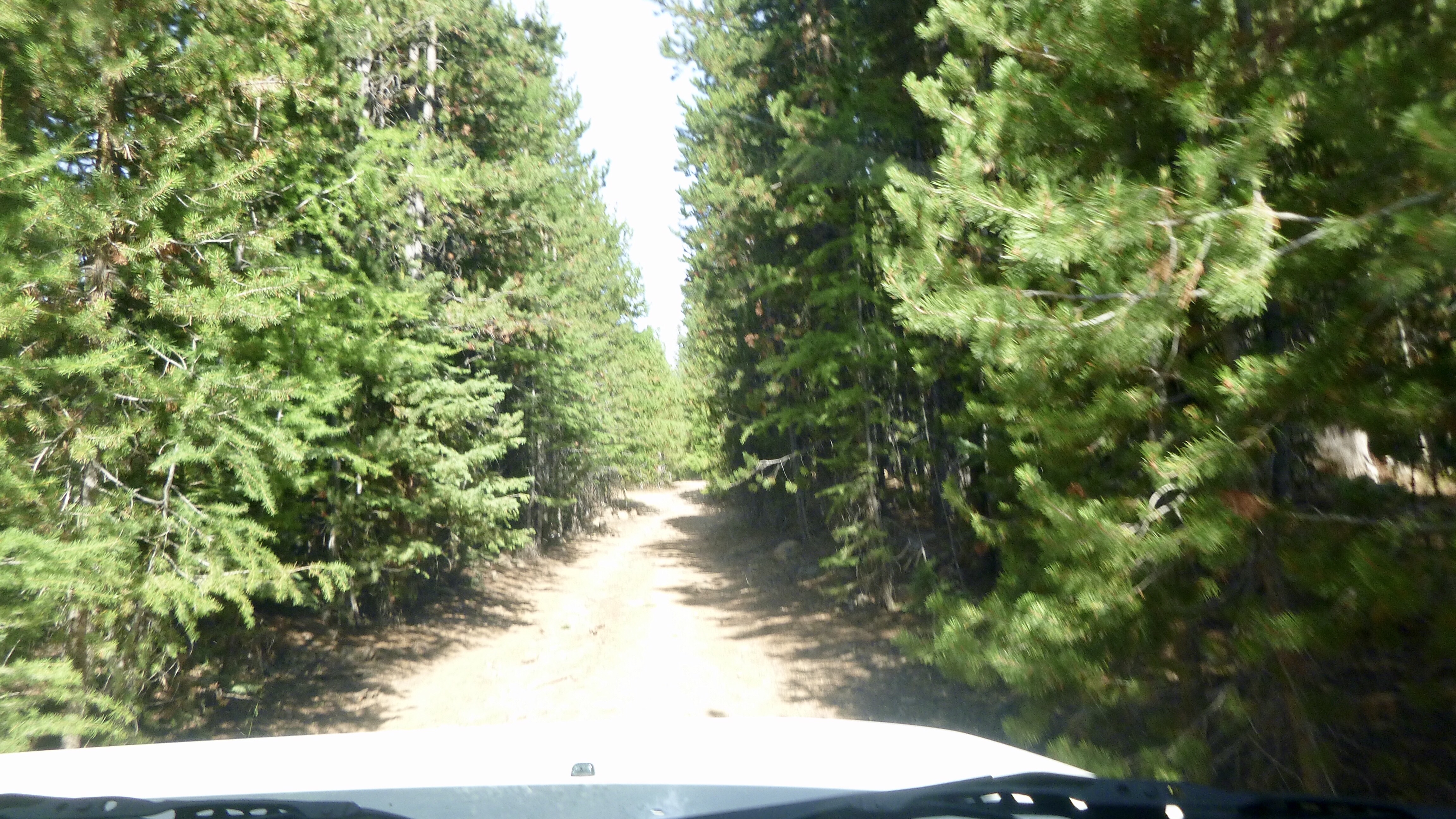
Eastern Oregon is not the most interesting terrain. Rolling hills covered in scrub brush. Blah. Soon we were back in the mountains with real trees. The roads were fun to drive and we drove on a road where the bushes were so close, they were scraping on both sides of the truck. Up and down we went. Our GPS has quit showing us our route. It keeps telling us to make a U turn. The heck with that. We are now down to maps and the roll charts.
Roll charts are directions for each turn on the trail. For each turn you are given a diagram of the intersection showing you which way to go, the GPS coordinates, the mileage from the last turn and the mileage from the start of the map. You can still get lost, and we do get lost, but it is fairly easy to find your way back to where you are supposed to be. I have one of the GPS setup so Sharon can see our direction and miles driven. This way she can keep up with the mileage to the next turn. The other GPS is being used to look up our GPS coordinates and to see what roads are coming up. We also use it to find the nearest DQ.
We ambled around this mountain seemingly all day only getting turned once. This was due to a mistake in the roll chart. I think a turn was missing. We figured it out and weren’t eaten by bears. Soon, we were on the highway into John Day. That’s the name of the town. I don’t remember all the details, but the town was named after a man who never set foot in this area. Go figure.
Tomorrow, we head to Prineville. Short day mileage wise, but it will be slow going. After that, we will have to skip a bunch of the trail due to roads closed because of a forest fire. We should be done on Friday!
Leave a Reply