We got a good nights sleep at the Leisure Time motel which was sparsely occupied lending to a quiet night nestled next to the I5. We left the fan on to help drown out the noise from the freeway. I think that we were pretty tired after our day yesterday. The plan was to get up and be over to the restaurant next door which was supposed to be open at 6. So, we packed up and drove to the restaurant only to find it dark and closed up. We doubled back to the gas station and waited for the attendant to come out and pump our gas. You aren’t allowed to pump your own gas in Oregon. We asked her about the restaurant and she told us it didn’t open until 7.
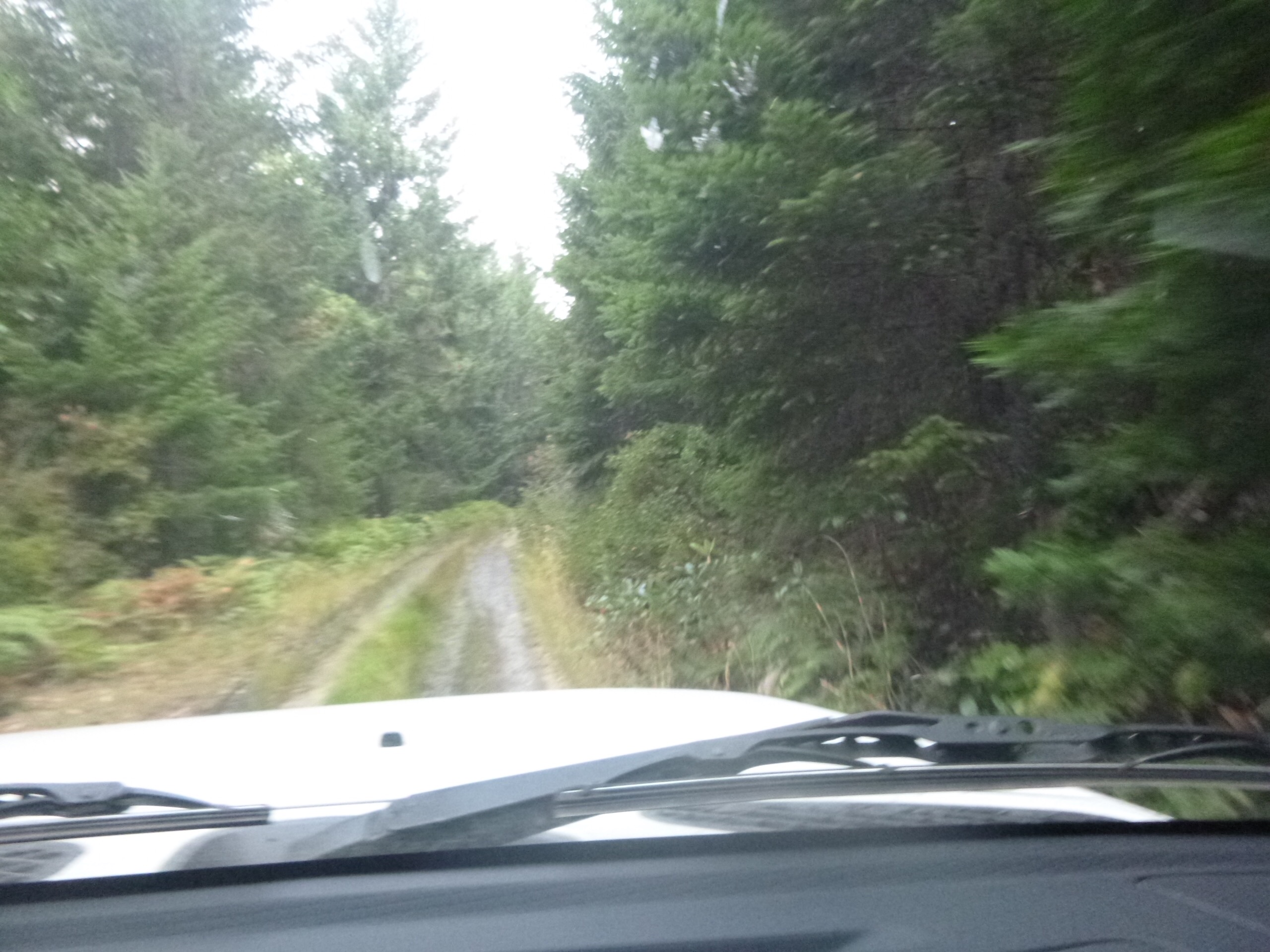
So, we left town and headed south to Tiller Or where the trail follows the Tiller-Trail Highway (Trail-Tiller) I can’t remember which it is called. Two towns connected by what used to be a logging road. We found our turn off the TT hwy and headed off into the woods. The going was good and the view was nice. We arrived at a spot where the road was paved. We checked the directions which said to find a particular BLM road. The first one we tried wasn’t it, but found the road on the next try. We even double checked our poisition with the GPS. We were at our correct turn. So, we proceeded up the hill looking for the dead tree at 1.8 miles. That’s what the instructions said. Go 1.8 miles and then go right around the dead tree. We hadn’t gone even 1.5 miles before the road ended. No other roads off this one. So, we backtracked off the hill and double checked everything. Frustrated at this turn of events and the inability to find where to go next we had no choice but to just try to go to the next town on the trail. At that point, we were 18 miles in a direct line to Glendale, Or. I plugged that into the GPS and it said it would take us 1.5 hours to get there.
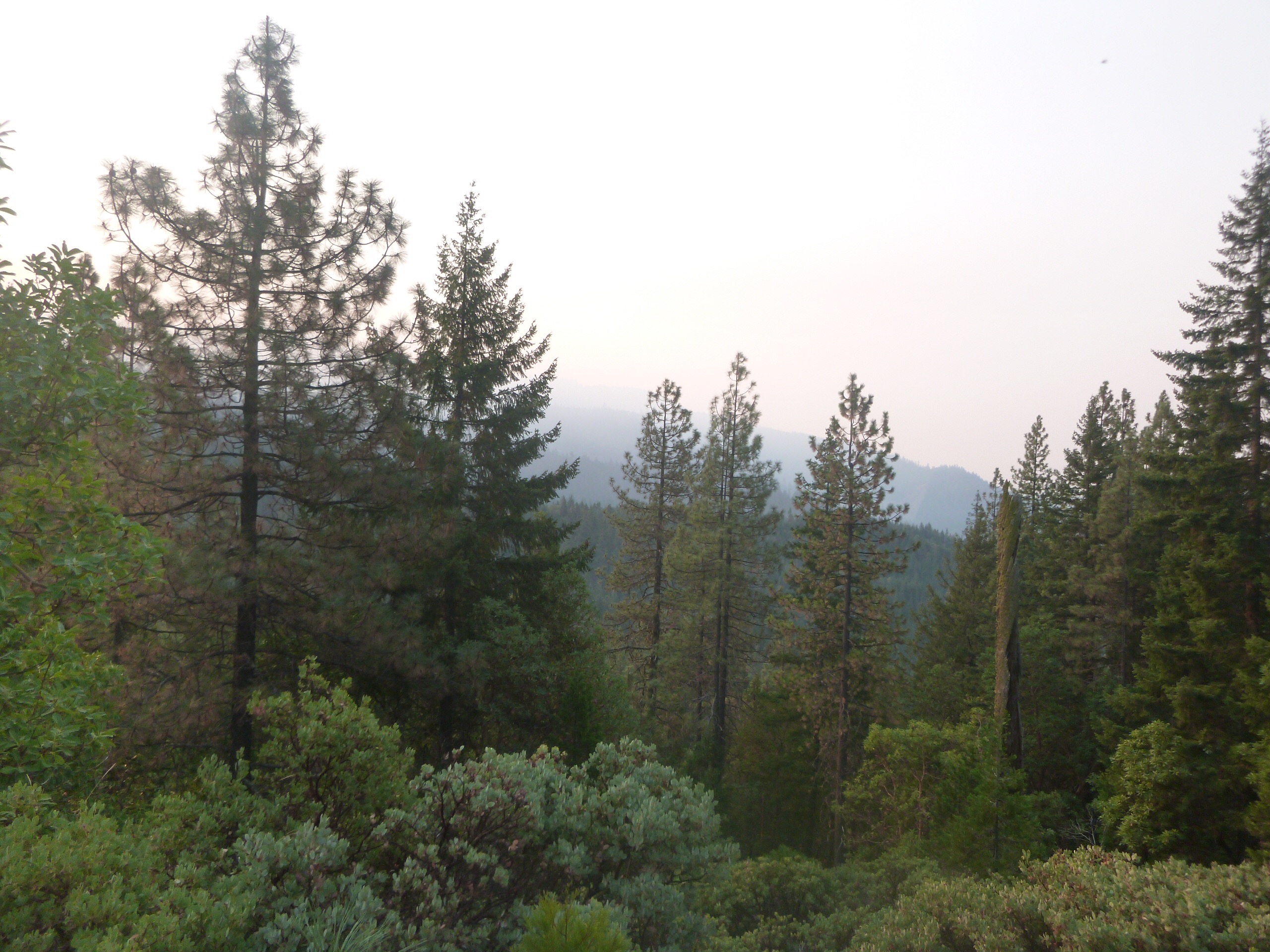
Soon, we found ourselves way down south in a town called Rogue River. We found a place to get breakfast and try to figure out what happened. We weren’t able to figure it out so we got on the I5 and headed for Glendale about 35 miles north. We got there pretty quickly and stopped to fill up the tank. We asked the guy at the station where Reuben’s Rd was. We must have misunderstood his directions so asked someone else. She gave us the correct directions and we found the right road. As we passed the lumber mill, we saw a huge sign saying that the road was closed 15 miles ahead and no through traffic was allowed. No reason given. We stopped at a local diner and I went inside to see if any of the old timers in there could help. They said there was a forest fire out there. I asked if there were any other roads. They said that there wasn’t any way to get to the coast from Glendale unless we were to go north and take hwy 42 over to Bandon.
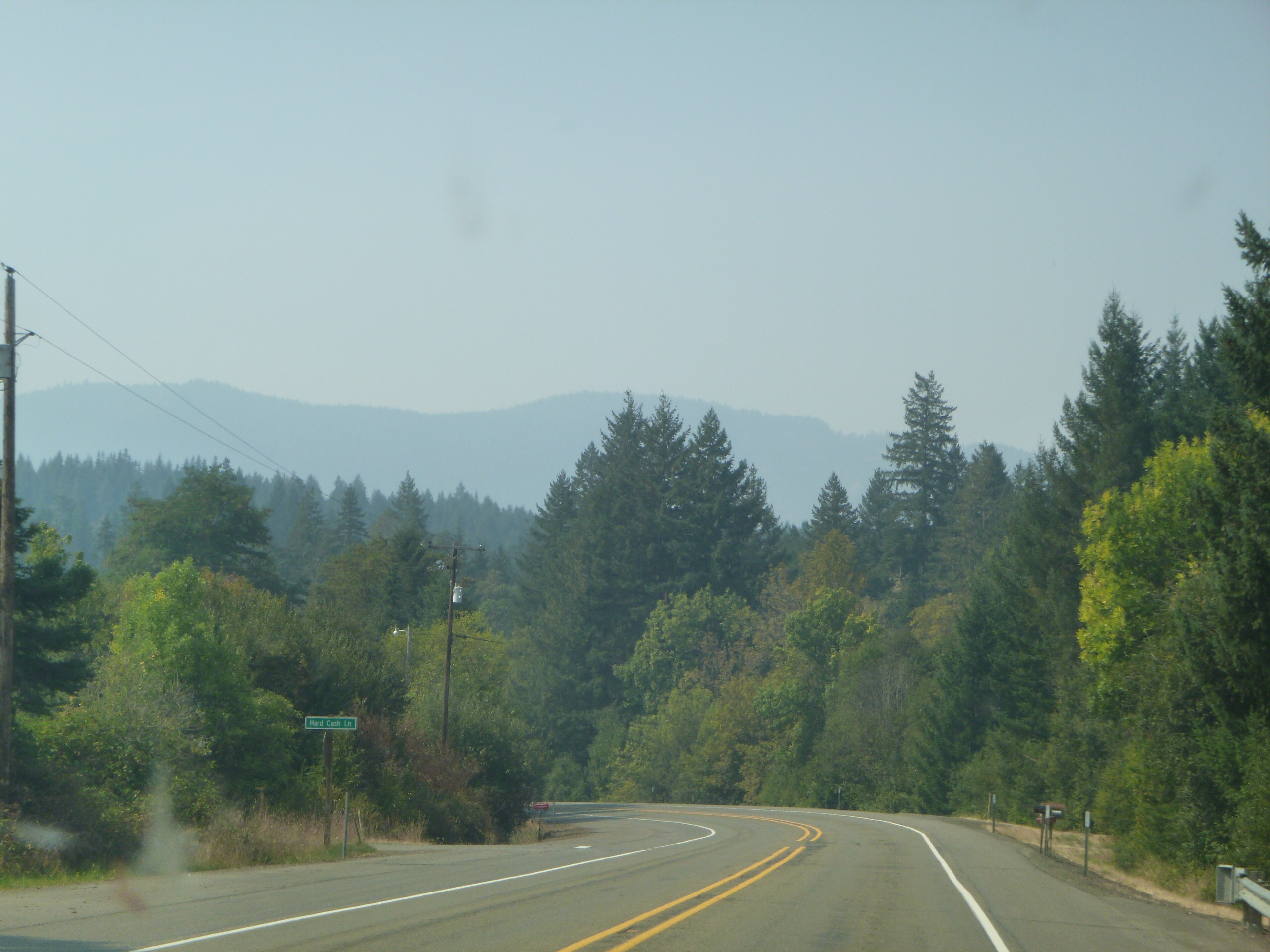
So, we jumped back on the I5 and headed north which took us through Canyonville and right past our motel from this morning. I did see that the restaurant was now open.
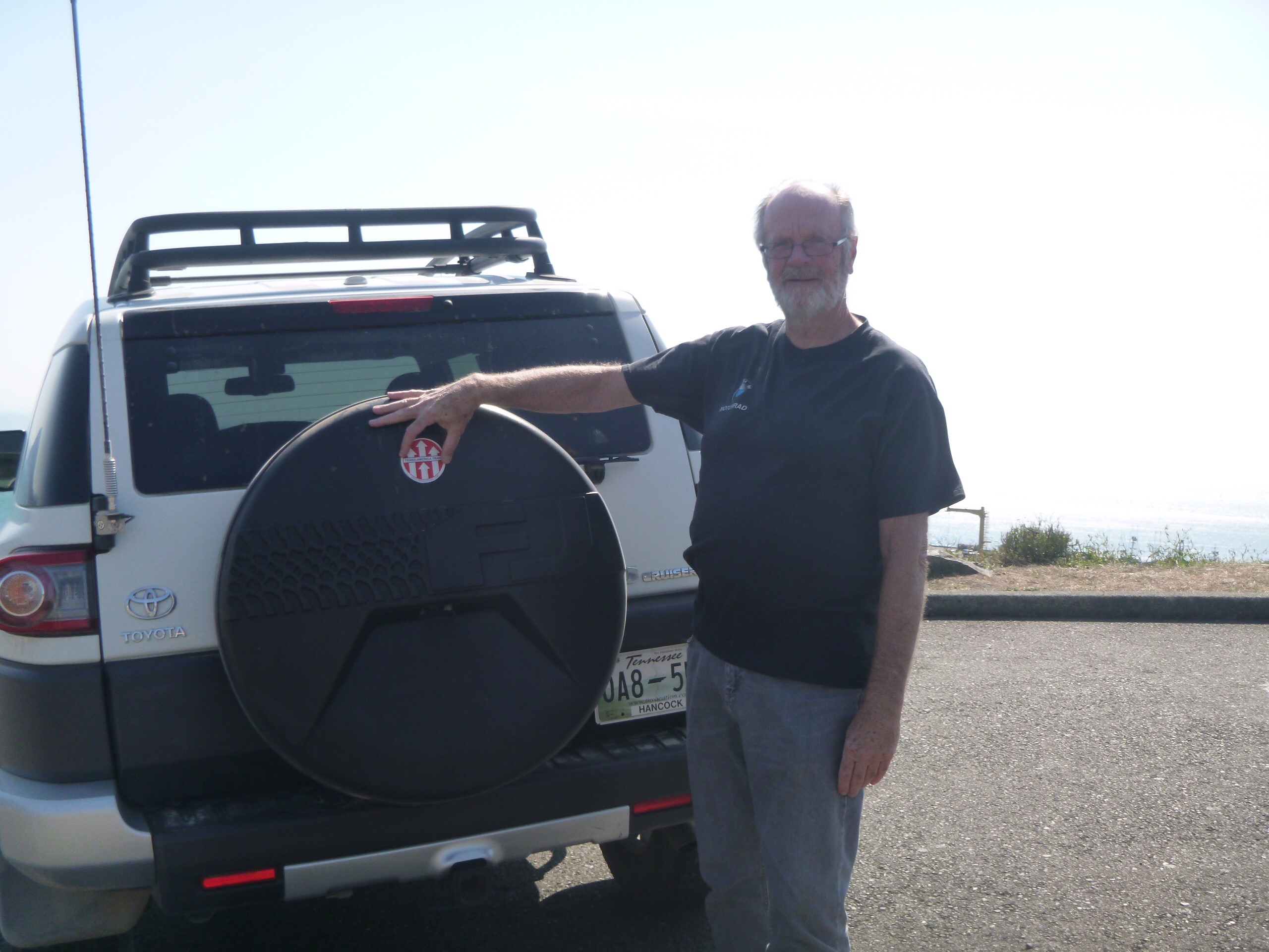
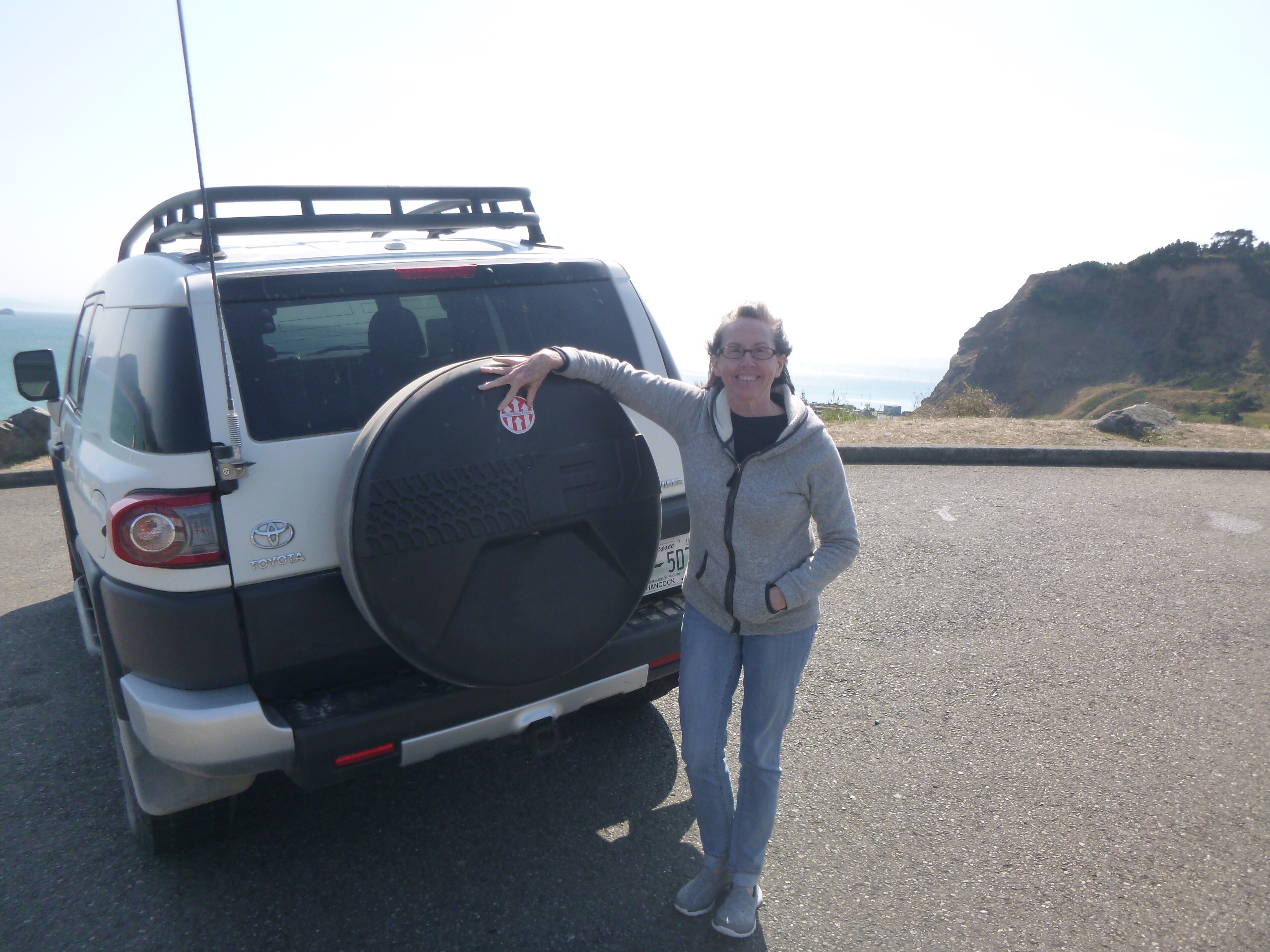
Well, long story short, we made it to Port Orford just after 2pm. We took the prerequisite photos and booked a room at the hotel situated right there on the bluff.
Our trip to the coast was complete. Not exactly the way I would have liked, but when the roads are closed you have to just make do with what you have.
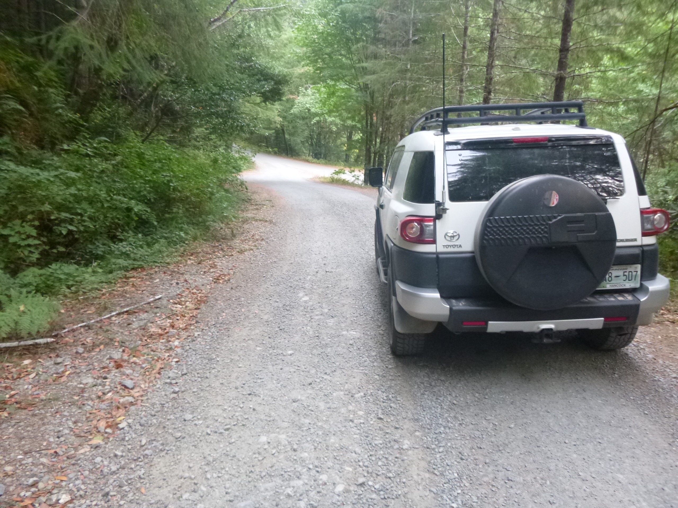
We will be heading north to Seattle to see my sister and BIL, Susan and Joel. After that we will head back to TN and start planning our next adventure. On the way out of Port Orford, I just had to see where the last gravel road was. We drove up Elk River Rd until we found FS 5200. The last bit of gravel road on the TAT.
Thanks for following along, I hope you enjoyed our little blog.
John and Sharon
Leave a Reply